Massive wildfire spawns fire tornadoes in Northern California
- Share via
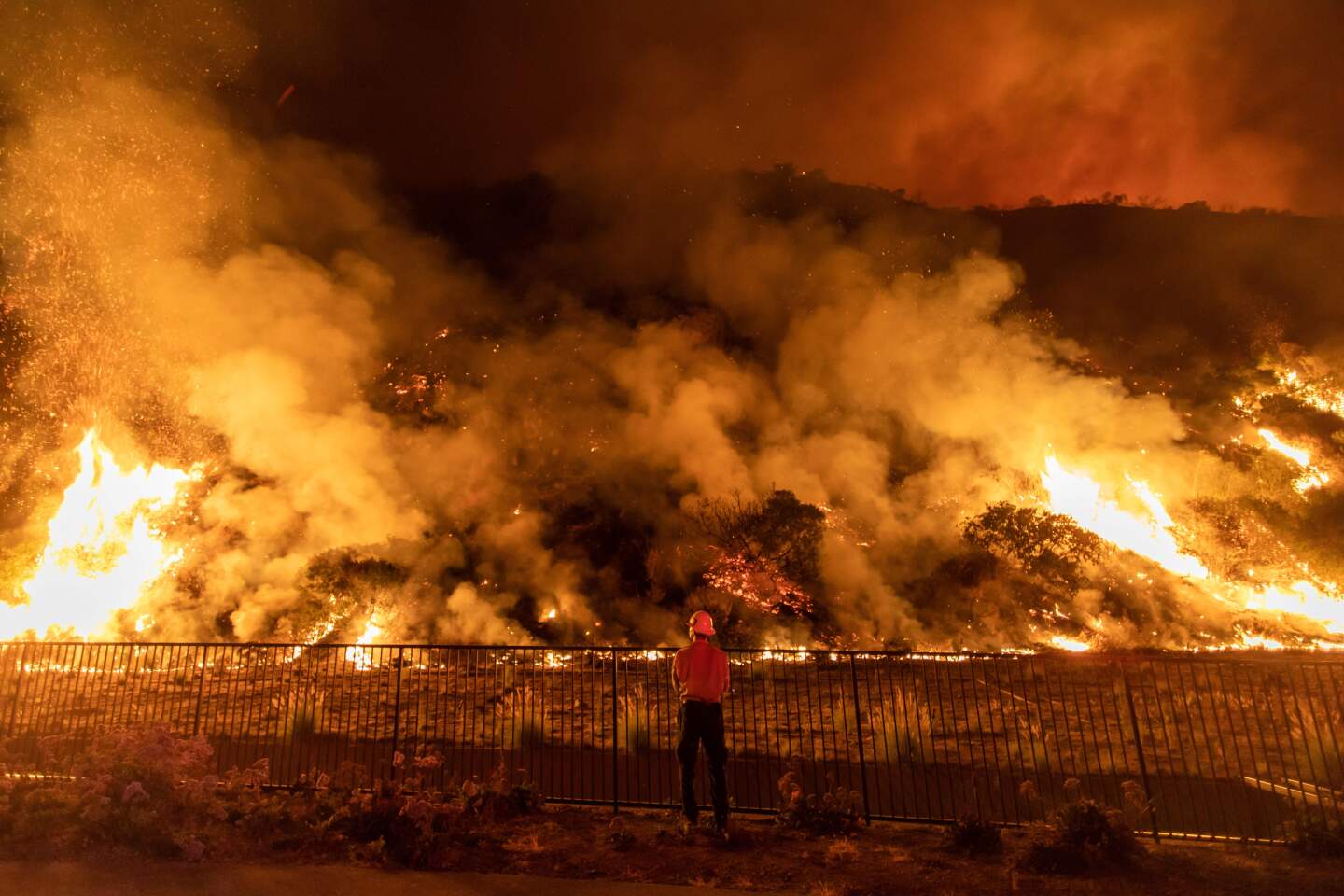
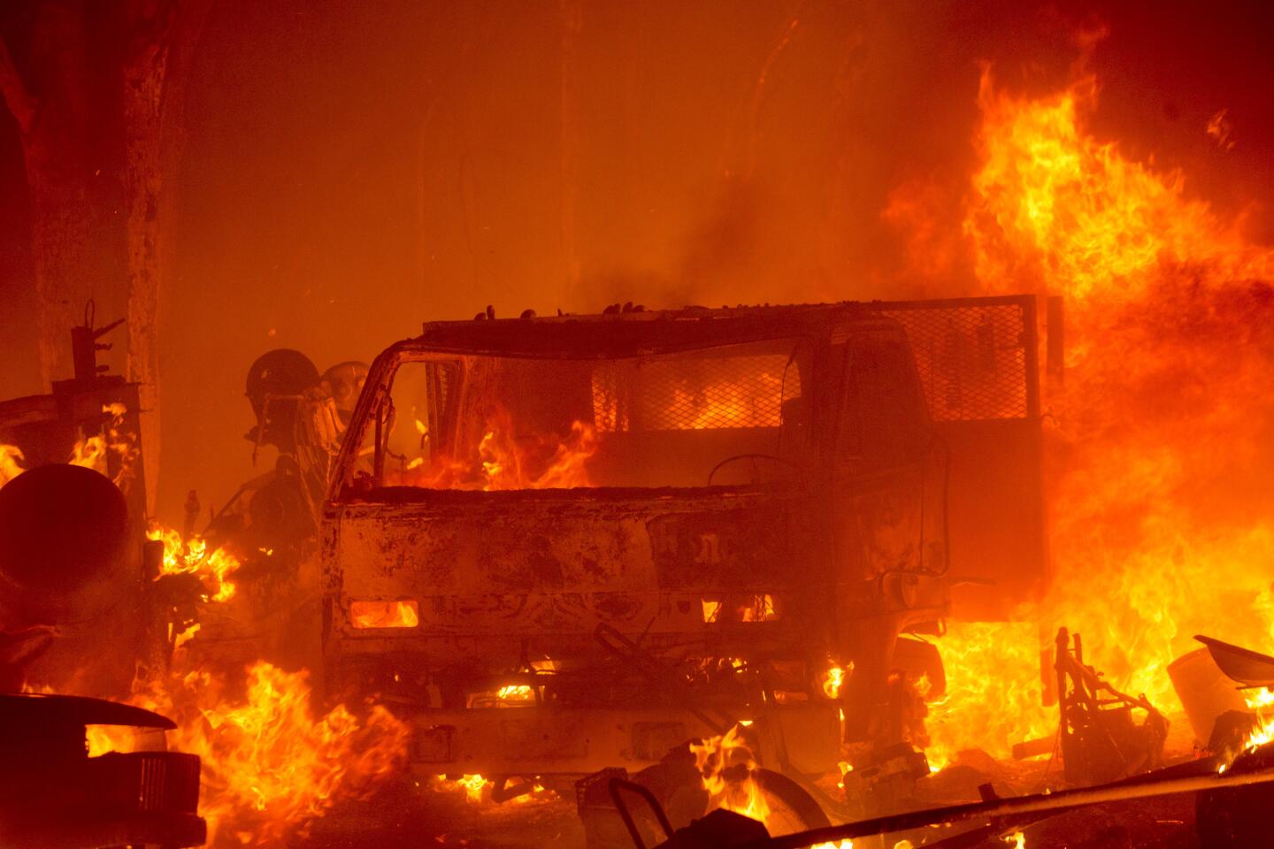
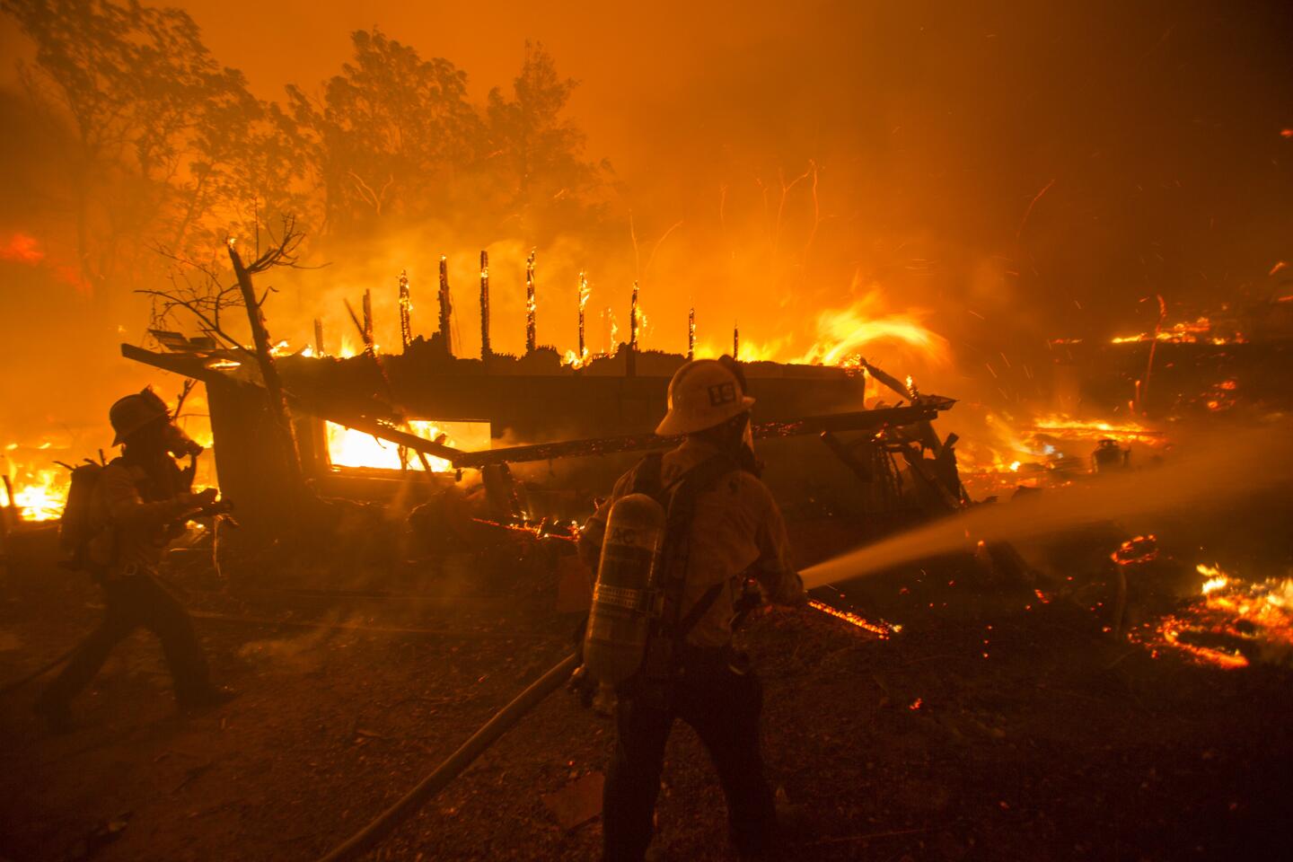
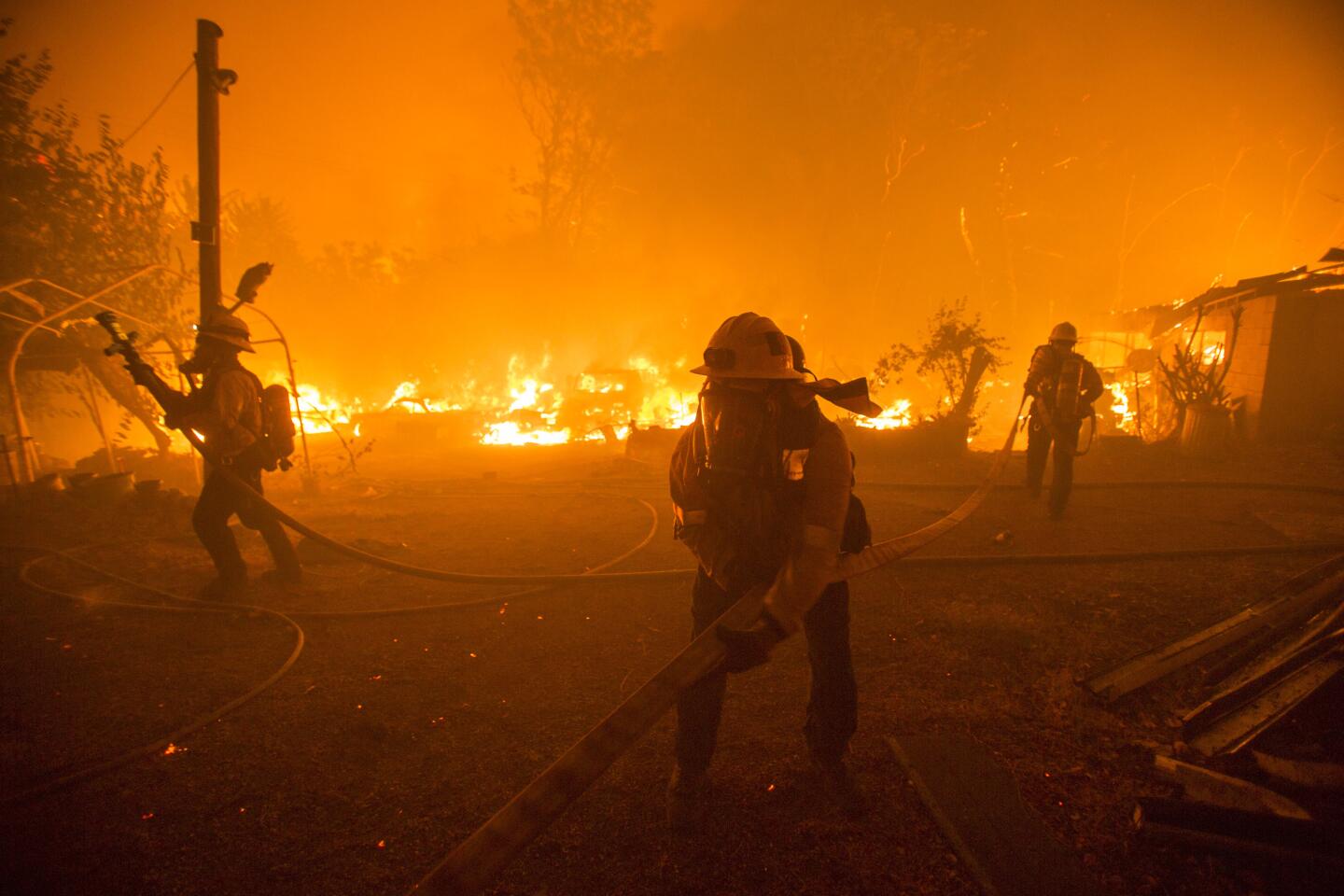
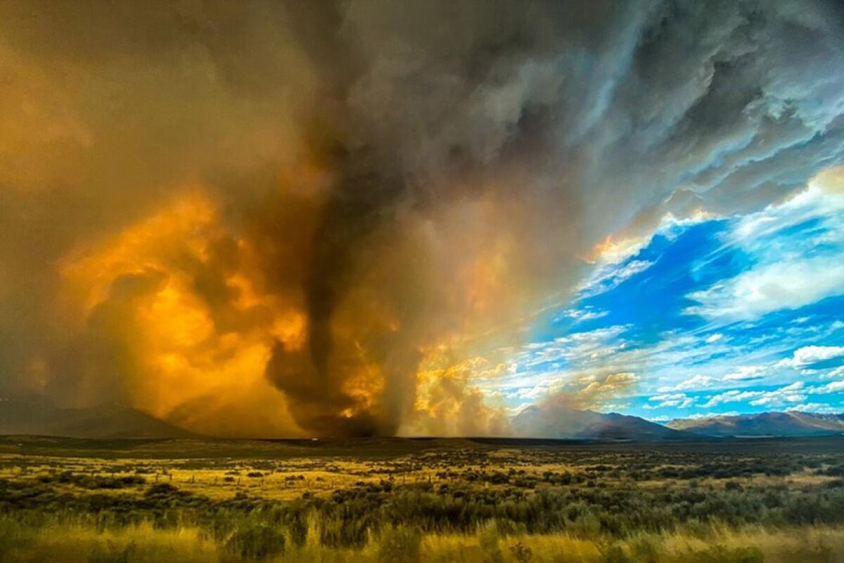
A massive wildfire in Northern California spawned rotating columns of flames Saturday, prompting forecasters to issue a rare fire-related tornado warning.
“It was a first for us,” said Shane Snyder, meteorologist with the National Weather Service in Reno, which issued the warning shortly before 3 p.m.
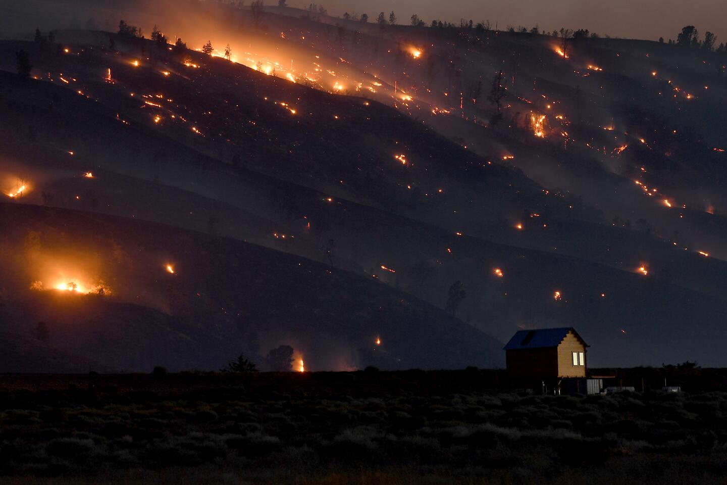
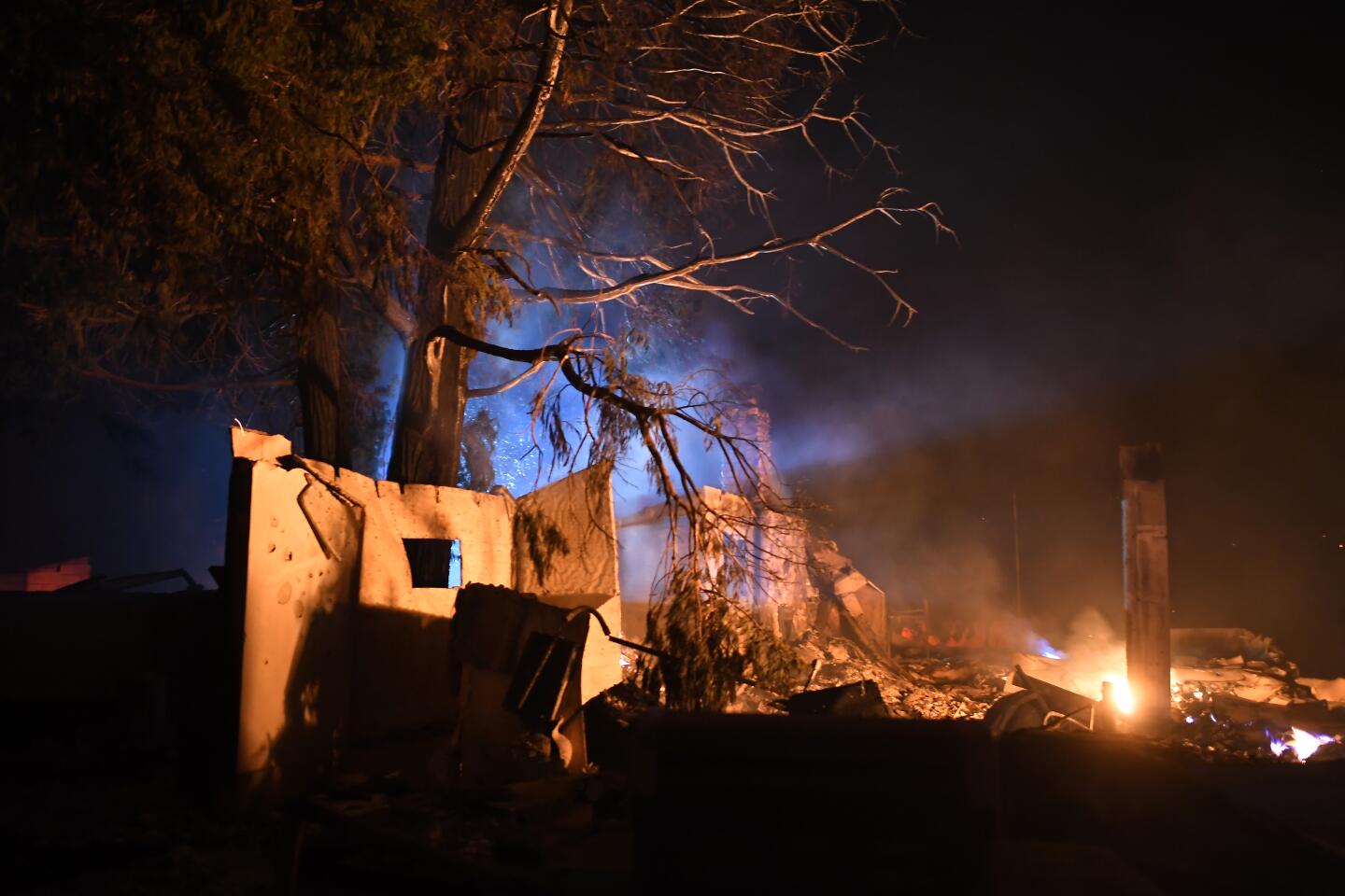
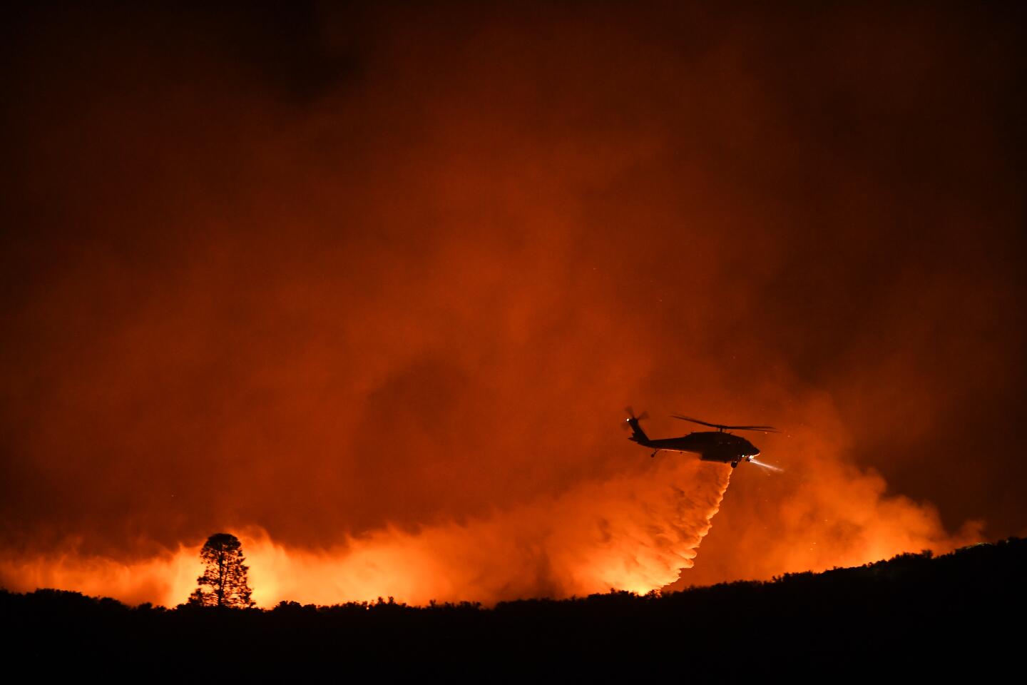
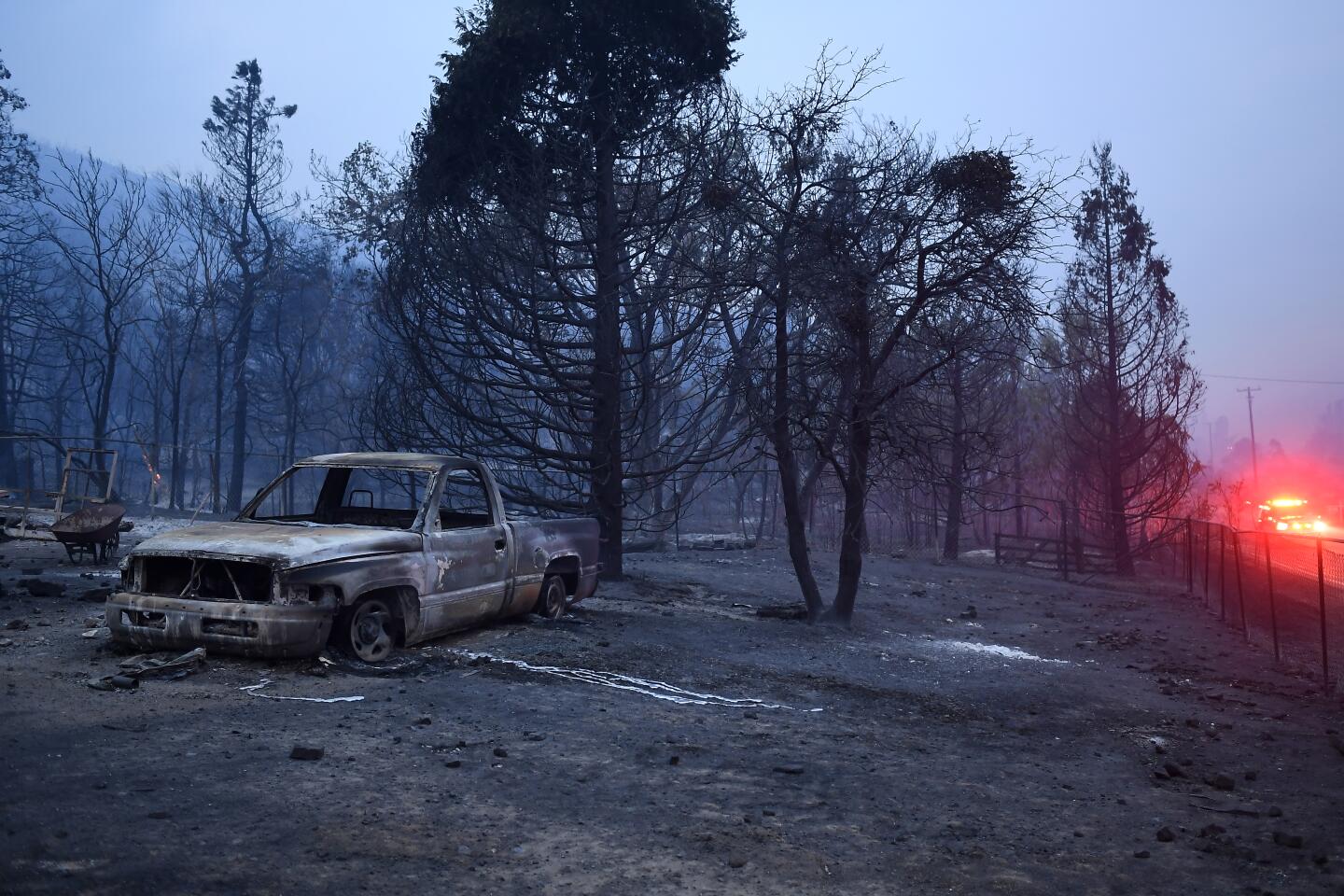
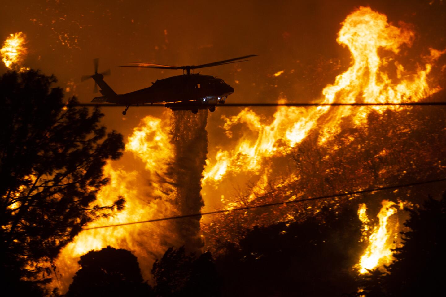
Multiple videos posted to social media showed twister-like formations in the path of the Loyalton fire, which started Friday evening in the Tahoe National Forest near California’s border with Nevada. The fire quickly grew to 20,000 acres and was 0% contained as of Sunday morning. Authorities were performing updated flight mapping and expected the acreage to rise, said Joe Flannery, public affairs officer for the national forest.
“Our resources on the ground are facing extreme fire behavior, rugged terrain and warm temperatures,” Flannery said.
Evan Bentley, severe weather meteorologist with the National Weather Service Storm Prediction Center, wrote on Twitter that radar data showed at least four “distinct anticyclonic circulations” associated with the fire on Saturday. One was present for more than an hour and traveled about four miles, he wrote.
The extreme weather phenomenon is believed to have been sparked by the rapid growth and intensity of the blaze.
“It was hot; it was very unstable atmospherically,” Snyder said in an interview, “and that allowed the fire, which is burning very hot and [through] lots of fuel, to really explode up in a vertical sense, up into the atmosphere.”
The hotter the air, the more rapidly it rises, he said.
“Hot air wants to rise, and if it’s very hot it wants to rise dramatically,” Snyder said. “It’s allowed to rise because the temperature of the air the fire makes is much warmer than the air around it. So it keeps rising until it’s not warmer than the air around it.”
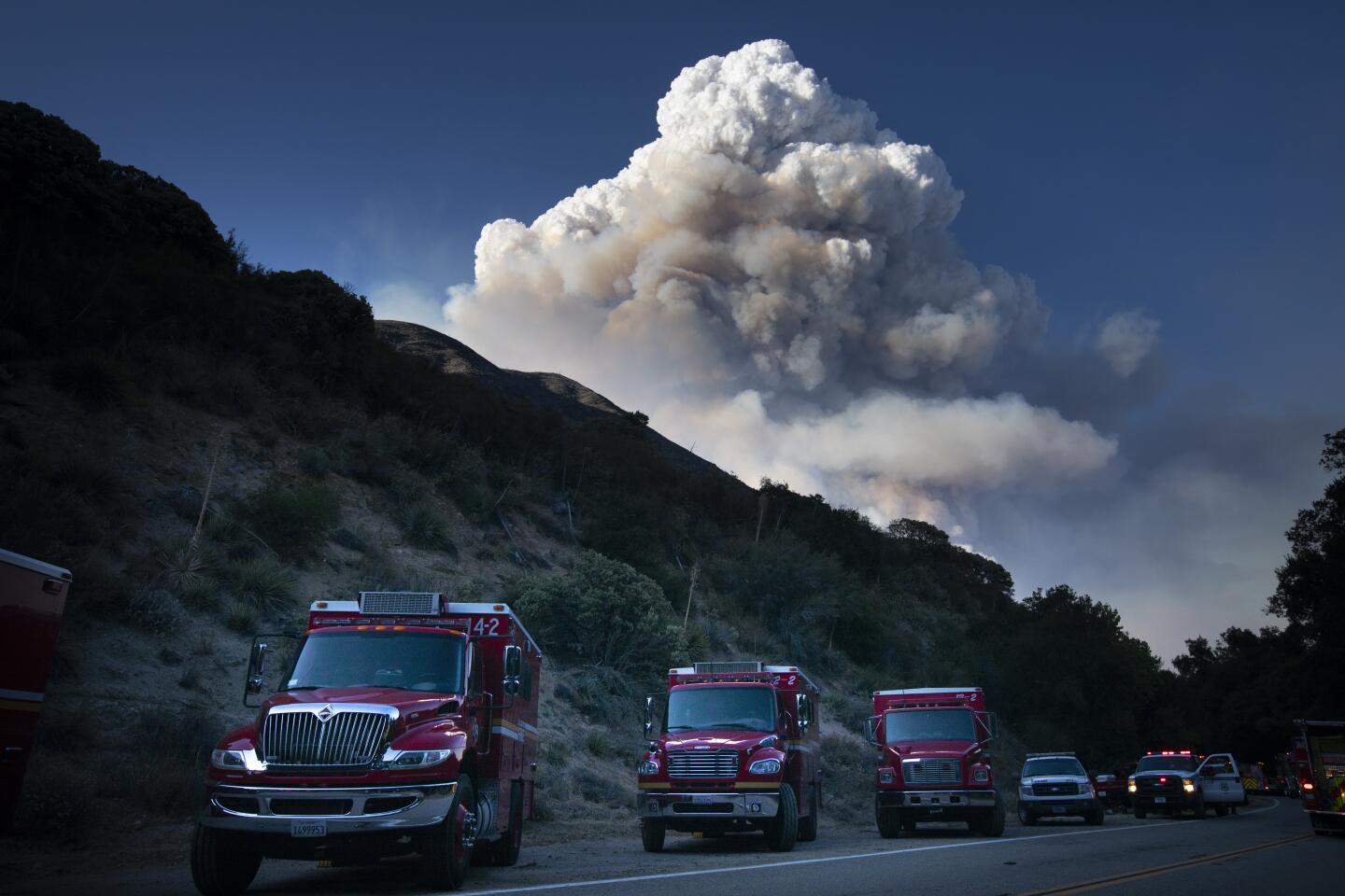
That can send a column of smoke up tens of thousands of feet into the atmosphere, he said. And as it rises, the air underneath it needs to be replaced, creating a vortex that pulls in air from all around it.
At the same time, changes in wind speed that occur higher up in the atmosphere cause the air to spin as it accelerates upward.
“With that rapidly rising, then you spin up your fire tornado,” Snyder said. “It starts spinning as it rises.”
Fire tornadoes are rare but not unheard of in California.
A spinning vortex that barreled into Redding during the Carr fire in July 2018 was roughly 1,000 feet in diameter and reached speeds of 136 to 165 mph, equivalent to a twister with a rating of EF-3 on the five-level Enhanced Fujita scale, according to the California Department of Forestry and Fire Protection. The fire tornado killed a firefighter as he raced toward a neighborhood in flames, an investigation later found.
In 2008, a whirl caught firefighters by surprise in the remote Indians fire, which was burning in extremely dry chaparral in the Los Padres National Forest. It caused serious injuries and forced the deployment of fire shelters.
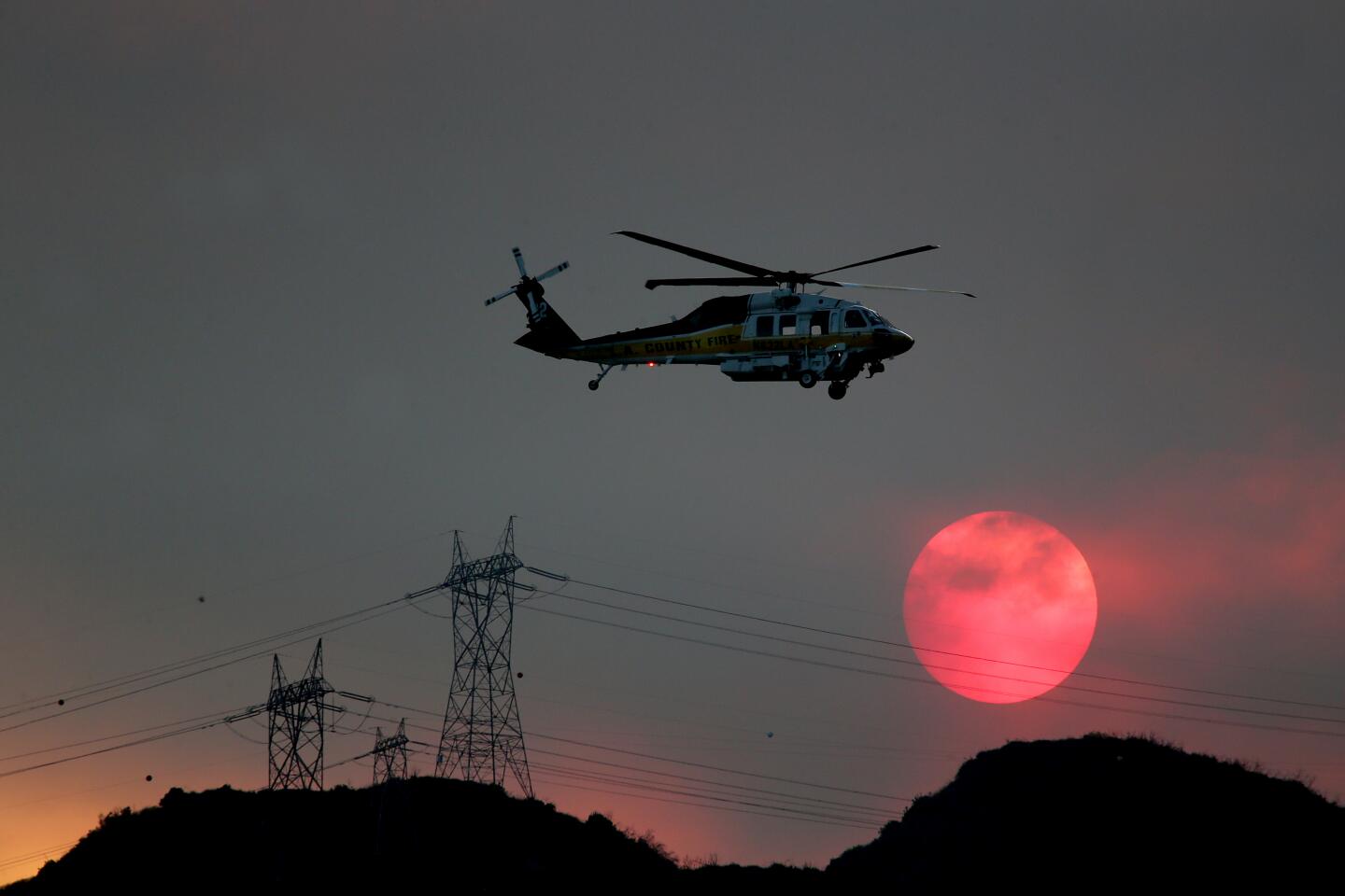
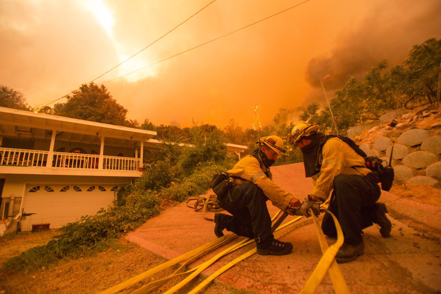
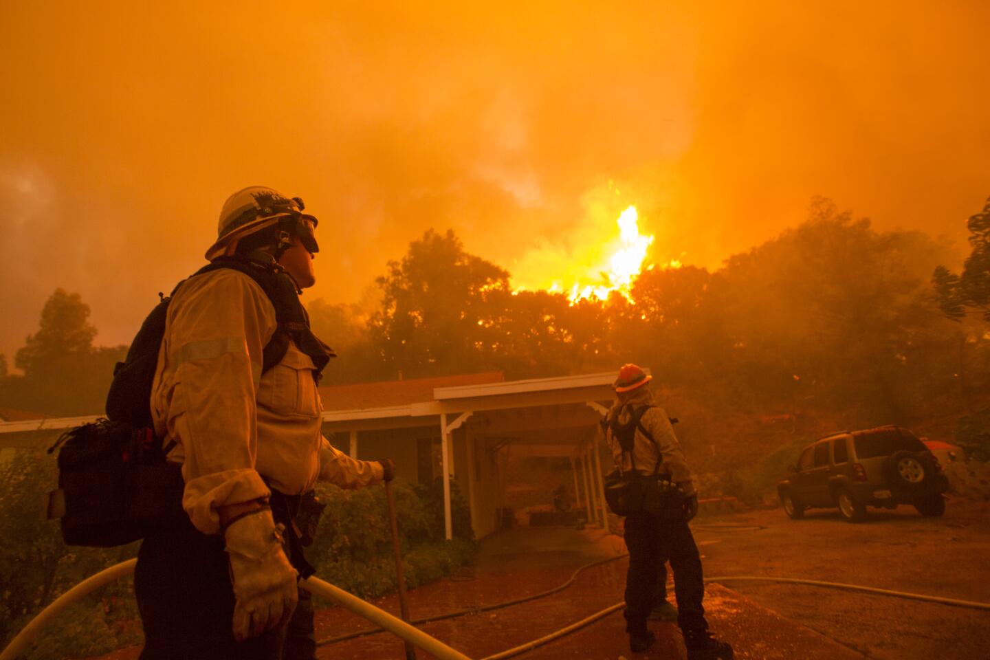
Most recently, on Wednesday, a flaming tornado was seen spinning out from the Lake fire, hours after the blaze erupted in the Angeles National Forest above Lake Hughes.
“The fire grew from 400 to 10,000 acres very, very quickly, in the span of a couple hours,” Jake Miller, public information officer for the Lake fire, said Sunday. “So that’s when you start seeing those fire tornadoes and fire whirls starting out.”
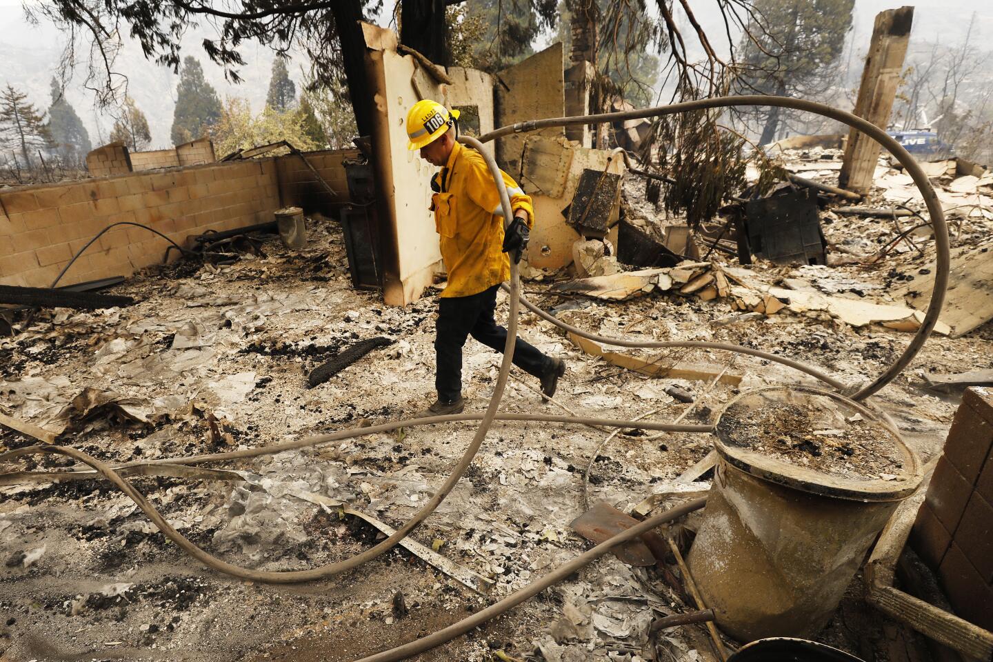
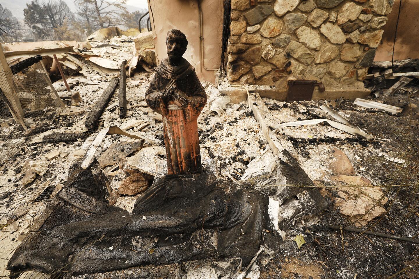
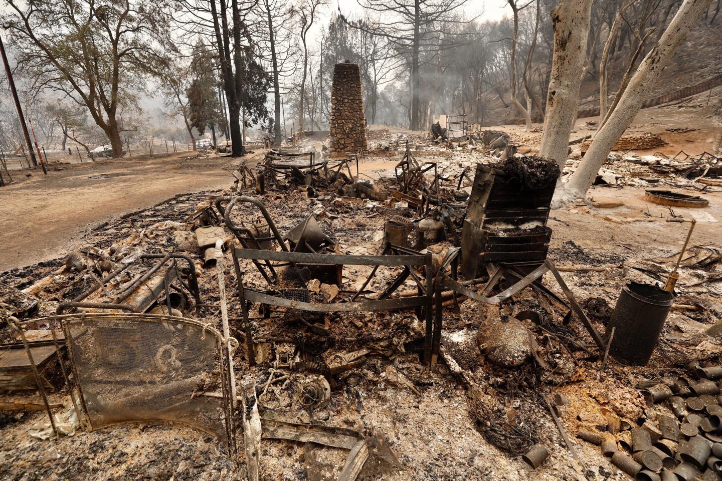
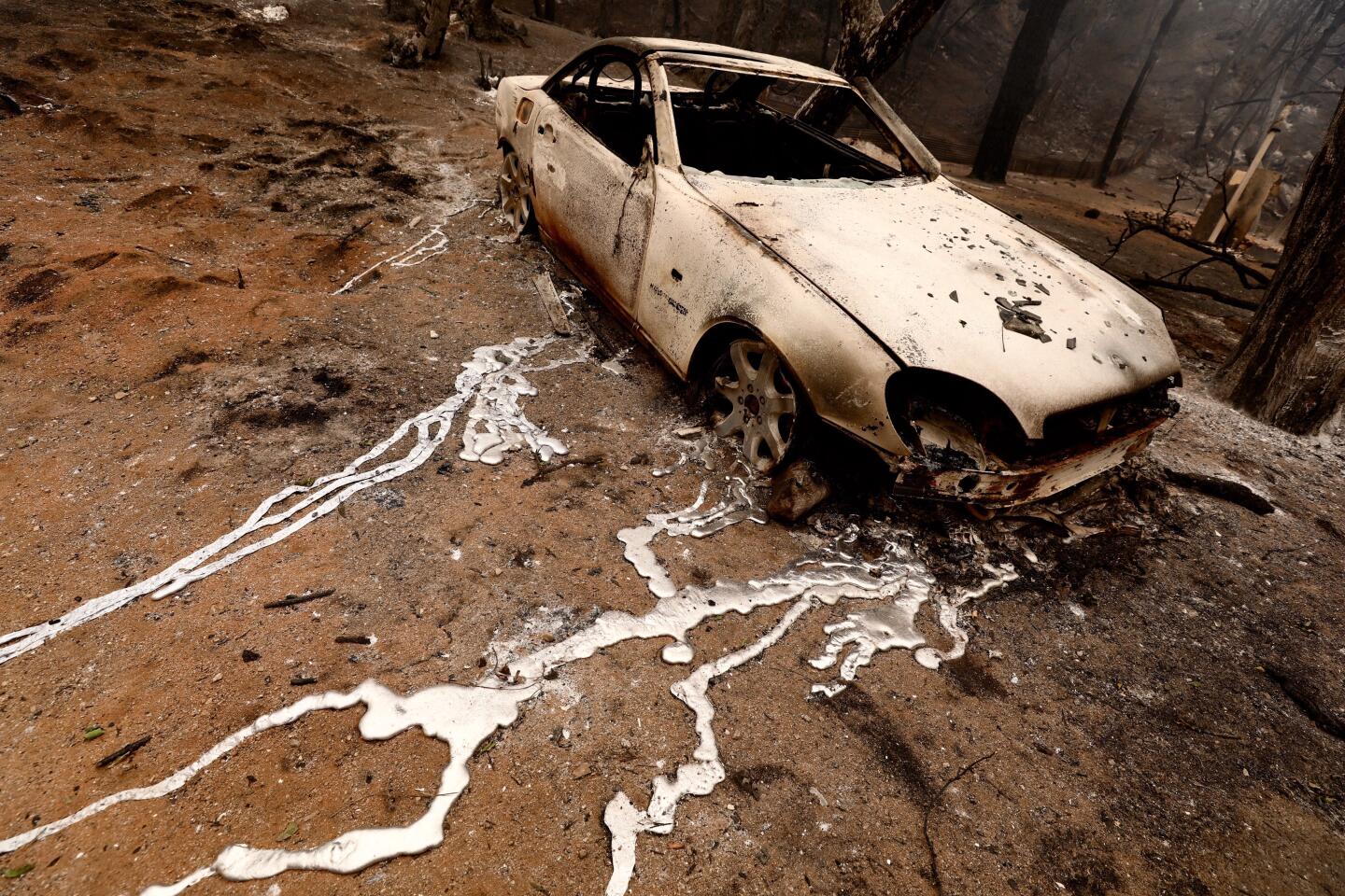
The fire had grown to 17,862 acres and was 12% contained as of Sunday morning. At least 12 homes and commercial buildings had been destroyed, and about 250 people remained under evacuation orders.
Though its growth had slowed considerably, challenges remained. Triple-digit temperatures, low relative humidity and heavy fuels combined to create the potential for continued spread, Miller said.
The most active flank of the fire was the northwestern portion, which was burning into a remote area largely inaccessible by roads, he said.
“It’s an area that just hasn’t burned in about 100 years, so there’s a lot of active fuel,” Miller said. “That’s why we keep getting this afternoon activity — it heats up and kind of sparks the fire up again. Then we have the mixture of that with the fuel out there, and the combination of those two kind of reignites the fire.”
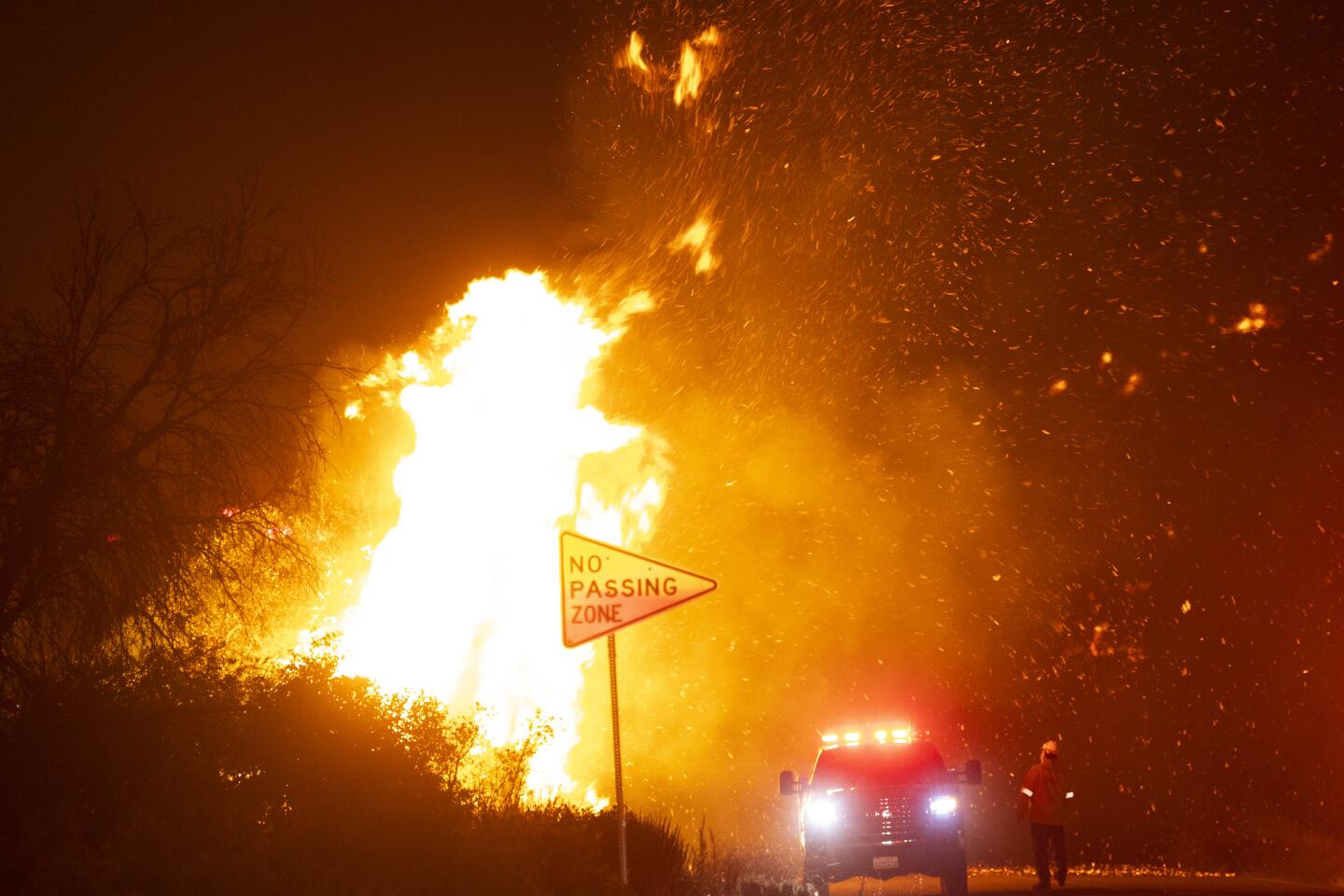
As the fire chews through the sunbaked brush dried out by the afternoon heat, it sends up a large plume of smoke, which in turn creates its own problems by generating erratic gusty winds that fling embers into the air, he said.
“We have been getting some spotting, which is embers from the fire getting trapped into the air and then drifting down and making a small fire just outside the current perimeter,” Miller said. “We did see that a couple times yesterday, but we didn’t have those fire tornadoes, really.”
Further complicating the effort were thunderstorms that moved through the area Saturday, bringing lightning strikes that also contributed to spotting outside the fire perimeter, Miller said.
Thunderstorms were reported in the area of the Loyalton fire Saturday, and more were forecast for Sunday, threatening to ground the aircraft needed to fight the fire, Flannery said.
“Firefighters on the line did report extreme fire behavior displayed at times, especially as overhead thunderstorm cells passed,” he said. “They cause these downdrafts that can create dangerous fire conditions.”
Multiple evacuation orders remained in place for portions of Plumas, Lassen and Sierra counties.
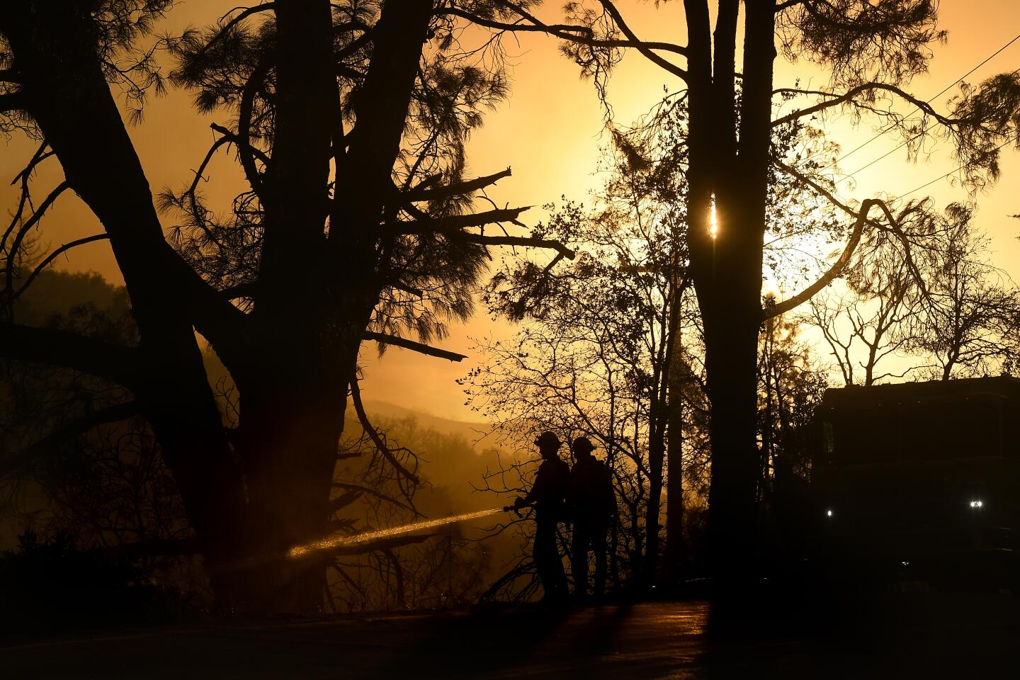
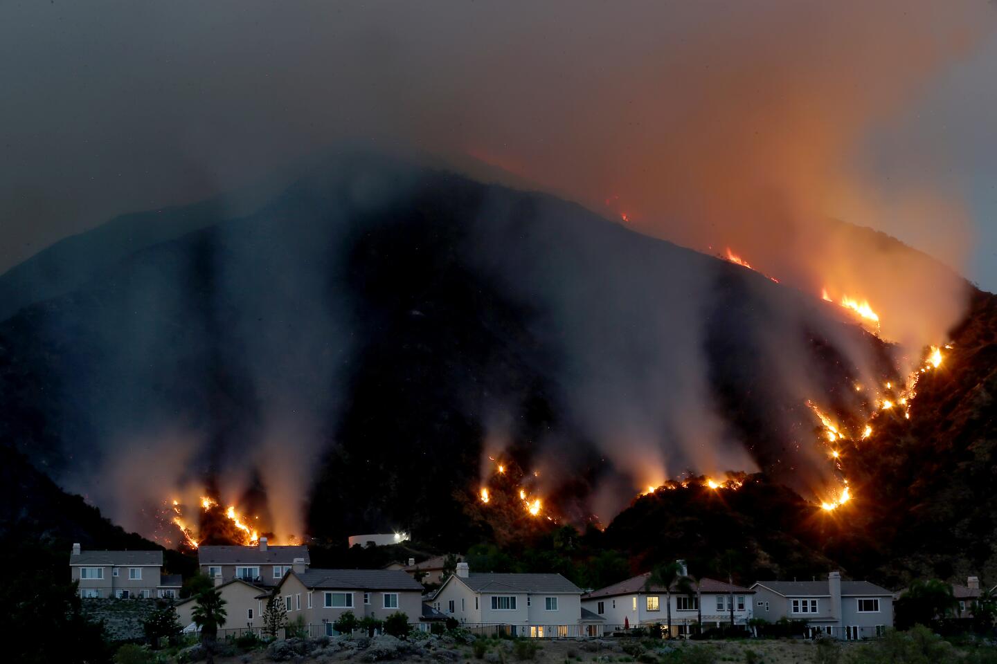
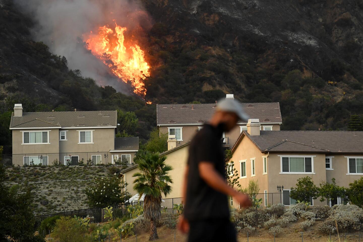
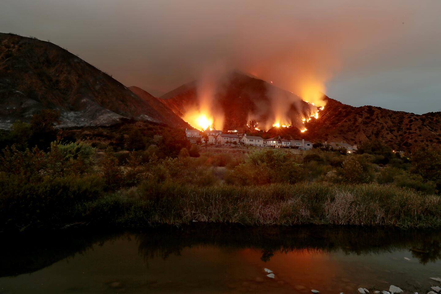
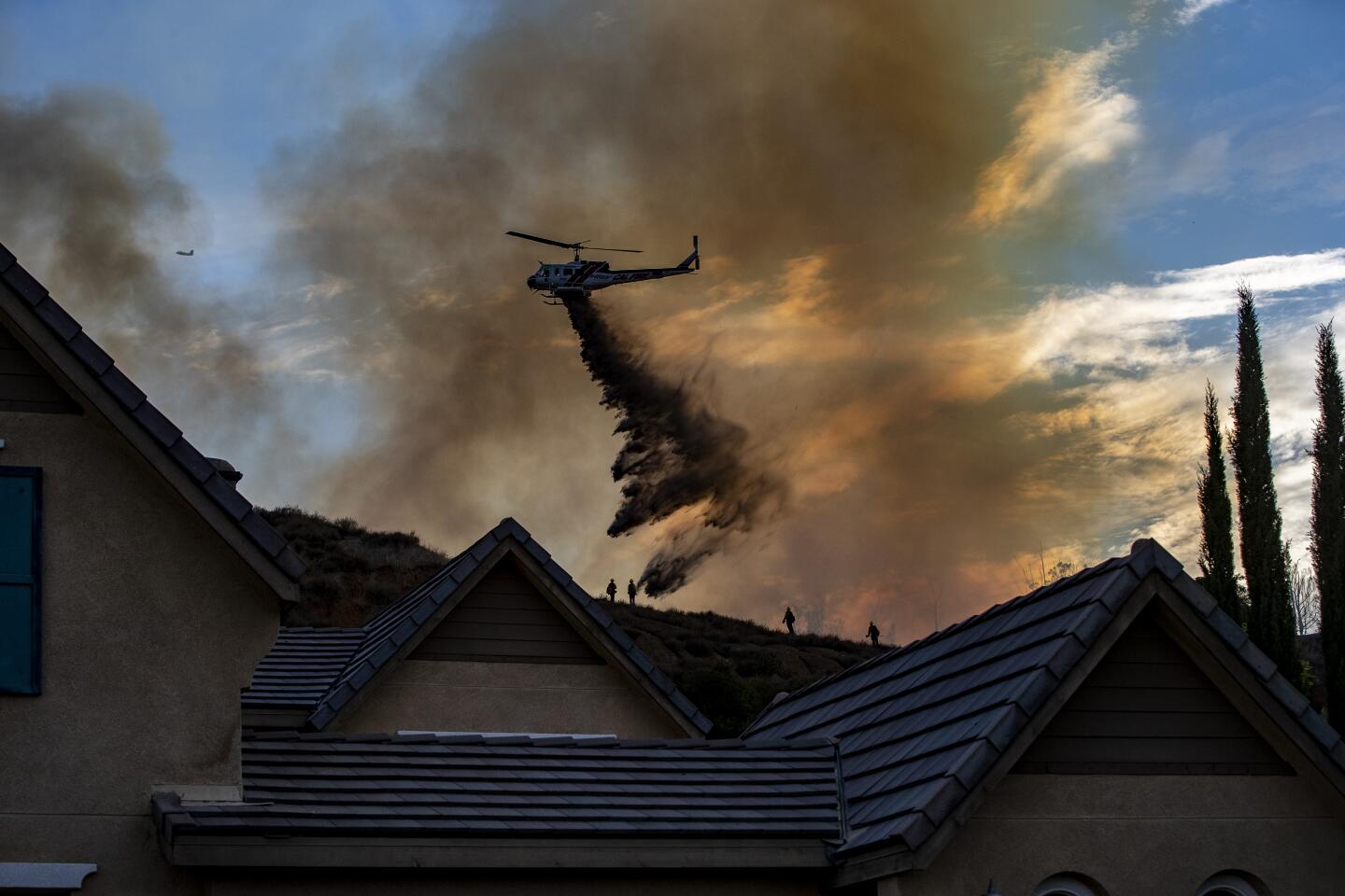
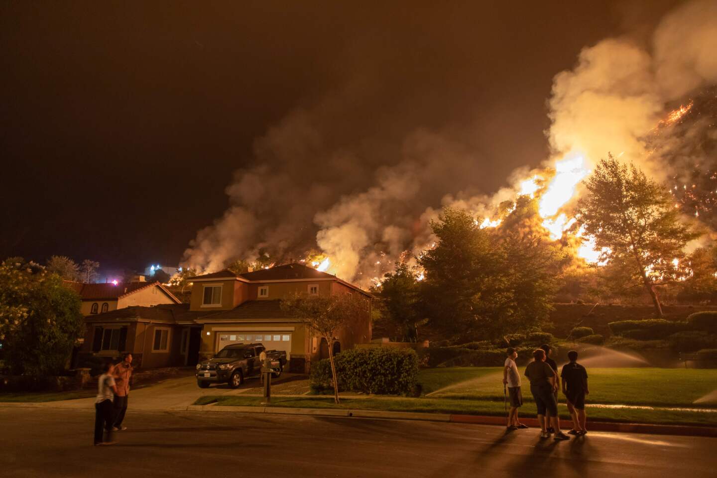
More scattered thunderstorms were forecast for later in the day Sunday in the area north of Azusa, where the Ranch 2 fire has burned a 2,256-acre swath through the Angeles National Forest.
“What’s driving this fire is the dry brush, the hot temperatures and the steep terrain, which makes it difficult to contain,” said Daniela Zepeda, public information officer for the national forest.
Firefighters were working to keep the fire on the north side of San Gabriel Canyon and protect the communities of Azusa, Monrovia, Duarte and Bradbury to the south, she said. They were also trying to keep the flames west of Highway 39, east of Van Tassel Ridge and south of Rincon Red Box Road, Zepeda said.
All evacuation orders had been lifted, but it was possible more could be put in place due to the active nature of the fire, which was continuing to race uphill to the north, west and east, she said.
The fire broke out Thursday in the San Gabriel River bed and was 7% contained as of Sunday morning.
Investigators were continuing to look for a man believed to have started the fire. Police said the suspect, identified as 36-year-old Osmin Palencia, lived in an encampment in the riverbed near the blaze’s origin.
The fires continued to burn amid scorching temperatures that forecasters said could rival a deadly seven-day heat event that struck California in 2006. Meanwhile, the cloud cover associated with bands of thunderstorms meant there was little chance for temperatures to cool down overnight, as is typical during the drier weather California normally sees, forecasters said.
Multiple heat records were set Saturday. The weather service reported a high of 112 in Woodland Hills, breaking the record of 108 set in 1977, and a high of 92 at UCLA, breaking the record of 90 set in 2003. Downtown Los Angeles hit 98 degrees, tying a record set in 1994.
The heat wave was expected to persist through at least Thursday.
More to Read
Sign up for Essential California
The most important California stories and recommendations in your inbox every morning.
You may occasionally receive promotional content from the Los Angeles Times.
