How a narrow gap of land brought another fire nightmare to California wine country

- Share via
SAN FRANCISCO — California’s wine country has been devastated by some of the state’s most destructive fires.
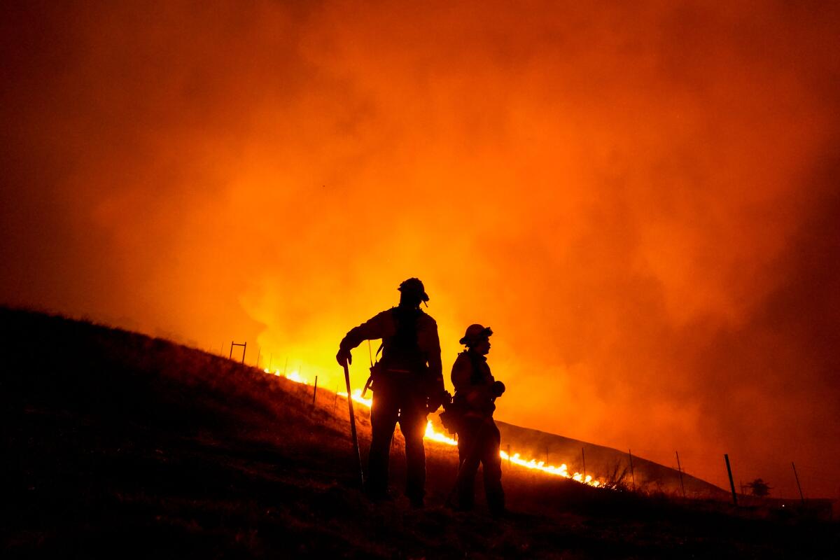
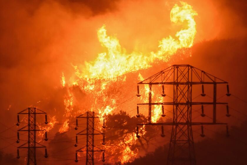
But on Sunday, a series of wind-driven infernos found new terrain that had not burned in years, creating a scene terrifyingly reminiscent of 2017, when wildfires marched into populated areas at night, destroying thousands of homes and killing dozens who could not escape in time.
It remains unclear how many homes have burned in the latest fires. But the blazes have destroyed winery property in Napa County and homes in Santa Rosa.
There also are no details on whether there have been any casualties. Thousands of people had to run for their lives Sunday, clogging Highway 12 as the Shady fire moved into Santa Rosa.
Thousands of people are under evacuation orders as multiple fires burn unchecked in Napa, Sonoma and Shasta counties.
Here is what we know:
How did the fires become such a threat?
For much of Sunday, the big worry was the Glass fire, which was burning through Napa County.
But just before sunset, a new blaze — the Shady fire — emerged in a dangerous spot to the west and began barreling toward Sonoma County and Santa Rosa.
The area had been hard hit by the 2017 firestorm. But those burn scars turned out to provide little protection.
That’s because the Shady fire burned between areas damaged by two of the worst of those 2017 fires: the Tubbs and the Nuns.
Those fires caused massive damage and loss of life, but they left an area between them that did not burn. That gap gave the Shady fire a path into Santa Rosa.
Two other nearby fires that erupted over the weekend — the Glass and Boysen — have since been grouped along with the Shady fire and labeled as the “Glass incident” by the California Department of Forestry and Fire Protection. That combined conflagration had burned 11,000 acres with no containment as of Monday morning, according to Cal Fire, and it was threatening 8,543 structures.
Sunday night was also hot and terribly windy, with gusts topping 60 mph at some peaks. The fire spotted more than a mile out, making it impossible to stop.
The 2017 wine country fire burned more than 8,000 structures. Most of the damage occurred in three areas: Coffey Park; Fountaingrove, located in northern Santa Rosa; and Larkfield-Wikiup, about five miles north of Santa Rosa. About 1,500 homes were lost in Coffey Park. Almost 1,800 structures were destroyed in the Fountaingrove area in the northernmost part of Santa Rosa.
The Nuns fire destroyed more than 1,000 structures.
Remote weather stations, satellites and supercomputers have begun to show promise as a means of predicting the spread of wildfires.
Where is the firefight taking place?
The center of the battle against the Shady fire was in the northeastern neighborhoods of Santa Rosa.
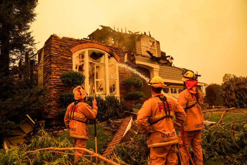
Whipped by powerful hot and dry Diablo winds coming from the north and east, which showered embers onto the city, flames engulfed houses in the area of Mountain Hawk Drive, which is lined with two-story tract homes in the Skyhawk development, built in the late 1990s and early 2000s.
Large swaths of Santa Rosa were under mandatory evacuation orders. Districts in the city’s northeast were ordered to empty, including the neighborhoods of Calistoga, Skyhawk, Melita, Stonebridge, the Oakmont retirement community and Pythian.
Busloads of older people were evacuated from the Oakmont Gardens assisted-living community as flames could be seen in the distance. Elsewhere in the city, cars jammed narrow roads as residents heeded evacuation orders.
Firefighters were able to save many communities, but it remains unclear what structures are still standing.
In Napa County, the Glass fire burned numerous structures. One building in flames was the distinctive stone structure at the Chateau Boswell Winery, which marked its 40th anniversary last year, several miles northwest of St. Helena.
Adventist Health St. Helena hospital suspended operations and evacuated its patients because of the fire.
The National Weather Service issued a red flag warning for the Los Angeles and Ventura county mountains and the Santa Clarita Valley.
What is the forecast?
Red-flag warnings continue for wine country and other areas in Northern California until Monday night.
The National Weather Service warned of wind gusts of 40 to 60 mph along with low humidity and hot conditions. That will make for another challenging day for firefighters.
Officials say an onshore flow Monday night should bring some relief.
More to Read
Sign up for Essential California
The most important California stories and recommendations in your inbox every morning.
You may occasionally receive promotional content from the Los Angeles Times.


