Dixie fire scorches nearly 200,000 acres, doubling in size in days

- Share via
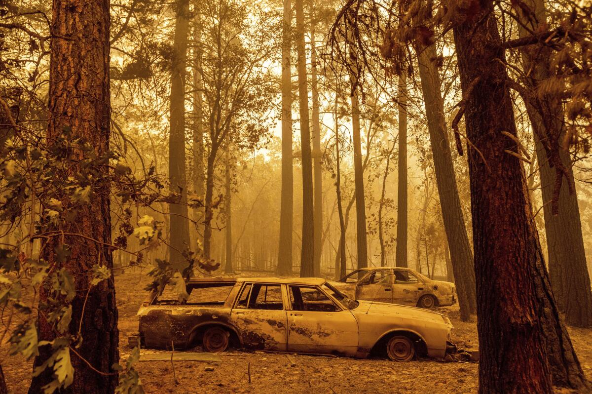
What’s become the 15th largest fire in California history has doubled in size in less than a week, destroying homes in its wake.
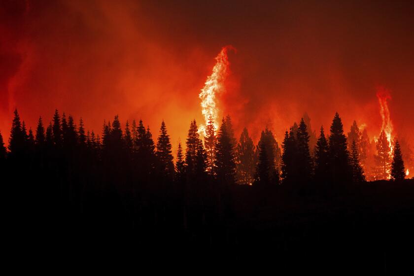
The massive Dixie fire burning in Butte and Plumas counties, north of Sacramento, had ballooned to nearly 200,000 acres Monday morning, according to an incident report. It is 22% contained.
The fire achieved “megafire” status when it surpassed 100,000 acres Thursday, spurred on by scorching temperatures and drought conditions that fire officials said have led to the blaze’s explosive growth since it began July 13.
Already this year, there have been more than twice as many acres burned than during the same period last year — and hundreds more fires.
Over the weekend, the Dixie fire merged with another smaller fire — dubbed the Fly fire — which had previously scorched about 4,300 acres.
The two blazes had destroyed at least 16 structures by Monday, according to Ventura County Fire Capt. Tony McHale, who is working with the California Department of Forestry and Fire Protection’s management team on the Dixie fire.
More than 10,720 structures are currently threatened by the flames, he said.
Before the fires merged, the Dixie fire was already the largest wildfire in California this year. On Sunday night, it also became California’s 15th largest wildfire in state history, said Rick Carhart, a spokesman for the Cal Fire’s Butte County unit.
More than 5,400 personnel are attacking the blaze around the clock, laying containment lines and adding contingency lines as a backup, McHale said.
“It’s called ground-pounding,” McHale said, adding, “when the weather changes on us, we hope those lines can hold.”
The blaze forced more people from their homes over the weekend. More than two dozen mandatory evacuations in Plumas County grew to include all of Genesee Valley, north and eastern parts of Indian Valley, Grizzly Mountain and the east shore of Lake Almanor, as well as several other communities.
The conditions that paved the way for the Dixie fire’s growth are becoming more common.
A brief respite in fire conditions is now set to give way to harsher days.
Smoke from the massive blaze had helped fire crews by generating shade and limiting the amount of heat on the conflagration, Dixie fire incident meteorologist Julia Ruthford said during a briefing Sunday evening.
But southwest winds on Monday will clear out that smoke and create room for more unstable conditions, including the formation of additional pryocumulonimbus clouds, she said. An enormous cloud formed over the fire as it mushroomed last week.
“Once that happens, it’ll bring drier air to the fire, warmer air to the fire and breezier conditions,” Ruthford said, noting that Monday will be “another day with pretty critical conditions.”
Fire officials fear that thunderstorms predicted in Northern California through the middle of the week could also bring dire conditions to both the Dixie fire and the Tamarack fire, which is burning east of Sacramento in both California and Nevada.
Flash flooding and thunderstorms are possible throughout the Southland on Monday, the National Weather Service said.
Though the storms could deliver desperately needed moisture to parched vegetation feeding California’s wildfires, they also could generate erratic winds and lighting that, respectively, accelerate fires and spark new ones.
Firefighters made progress battling the Tamarack fire overnight, increasing the containment of the roughly 67,760-acre blaze to 45%. On Sunday night, it was only 27% contained.
Evacuation orders were lifted in parts of Alpine and Douglas counties, dropping the number of those displaced by the blaze from 2,400 to about 300, DeFries said. But mandatory evacuations remain in effect for residents of Blue Lakes Road, upper and lower Blue Lakes campgrounds and those who live in the Highway 4 corridor, from Highway 89 to Ebbetts Pass.
Two key thoroughfares in the fire zone reopened Monday morning: Highway 395 on the east side of the blaze, and Highway 88 on the west side.
Despite the advances, weather could complicate the situation, officials said.
Storms expected to arrive Monday have the potential to drive gusts to a furious 45 mph, said Mike DeFries, a spokesperson for the incident management team handling the fire.
There’s a potential for heavy rainfall, which could bring localized flooding and debris flows in areas where the fire has burned, he said.
Still, a possibility of “wetting rain” — more than one-tenth of an inch — coupled with humidity, “can make a difference in terms of calming the fire activity,” he said.
More to Read
Sign up for Essential California
The most important California stories and recommendations in your inbox every morning.
You may occasionally receive promotional content from the Los Angeles Times.


