Coldest storm of season arrives in Southern California with sleet, snow, but little rain

- Share via
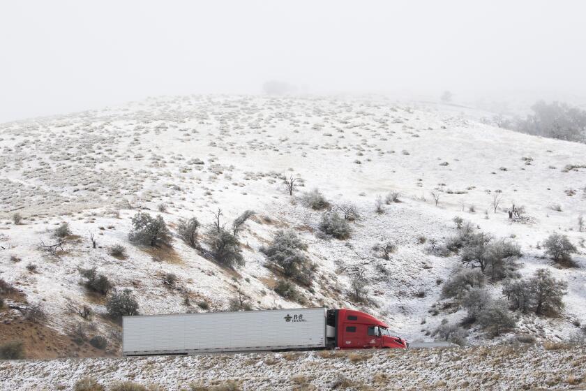
The coldest storm of the season made its entrance in Southern California on Tuesday, dumping sleet and snow in high mountain areas, prompting some school closures and threatening to deliver ice, rain and hail as it moves across the region.
The winter storm originated in Canada and will pass through Los Angeles and the surrounding areas Tuesday and Wednesday, according to the National Weather Service. The high temperature in downtown L.A. on both days is not expected to break 60 degrees.
David Sweet, a meteorologist with the National Weather Service in Oxnard, said “a very large mass of very cold air” was behind the winter storm.
The Oxnard office started getting reports of snow in the Antelope Valley and some mountain areas Tuesday night, said Todd Hall, a meteorologist with the weather service.
California Highway Patrol officers reported some vehicles were stuck due to snowy conditions on San Francisquito Canyon Road between the Santa Clarita area and the Antelope Valley, Hall said.
Showers were expected to continue to move through the Los Angeles County area Tuesday night.
The region should expect 1 to 3 inches of snow, with up to 5 inches possible in the San Gabriel Mountains, the National Weather Service warned in an advisory.
The storm system, however, didn’t carry significant moisture, and precipitation Tuesday was minimal, Hall said. The highest reported precipitation was 0.36 of an inch at Live Oak Canyon Dam, followed by 0.34 of an inch at San Dimas Dam.
The totals are disappointing during what is typically the heart of the wet season in the state, Sweet said, noting that February appears to be following January’s dry lead.
“We’re relying on a wet March to bolster our rainfall,” he said.
Conditions were expected to clear Wednesday, setting up a chilly and breezy day, Hall said.
A winter weather advisory was issued in the mountains of San Luis Obispo, Santa Barbara, Ventura and Los Angeles counties, with up to 3 inches of snow possible at 2,500 feet and up to 5 inches at higher elevations.
Advisories were also in effect for the mountains of San Diego, Riverside and San Bernardino counties, where even higher snowfall totals of up to 12 inches are possible.
Several school districts in San Diego County declared a snow day and canceled classes because of road hazards and high winds, according to the San Diego County Office of Education.
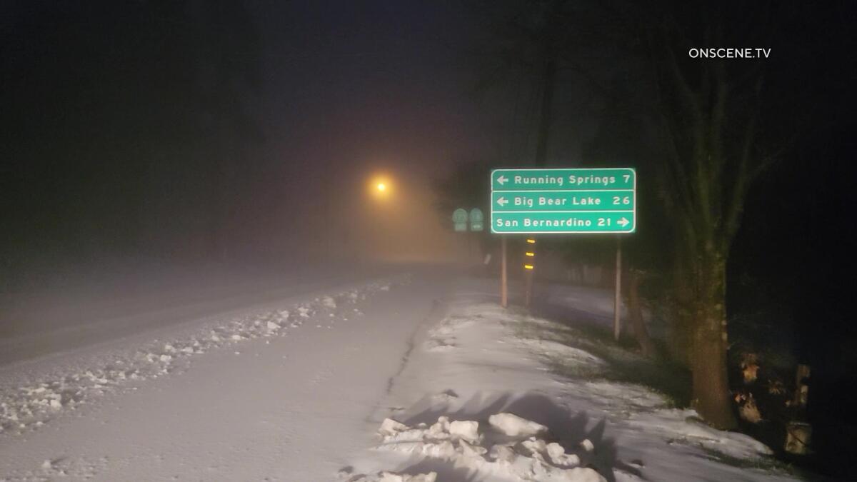
In the San Bernardino County mountain areas of Crestline and Lake Arrowhead, news video showed sleet and snow blanketing some roads, prompting plow operations before sunrise with more precipitation on the way.
As temperatures begin to drop across California, here’s how Angelenos can give a helping hand to those in need.
In addition to winter weather advisories, the weather service issued hard freeze watches and wind advisories in several areas.
The storm could make a mess of travel in the form of icy roads, 45-mph wind gusts and dangerous wind chills in the mountains. Road closures and other traffic problems are possible.
“Anywhere from the Grapevine to Castaic along the I-5 stretch through the mountains is susceptible to this,” Sweet said. “If you don’t have to drive, why bother with hazardous conditions? But if you do, make sure your car is winterized, and make sure you’ve got supplies in your car like lots of water and warm blankets in case you get stranded.”
The winter storm will push east as it clears out Wednesday, followed by a gradual warming trend leading into the weekend.
More to Read
Sign up for Essential California
The most important California stories and recommendations in your inbox every morning.
You may occasionally receive promotional content from the Los Angeles Times.


