Tropical Storm Kay breaks heat and rain records across Southern California

- Share via
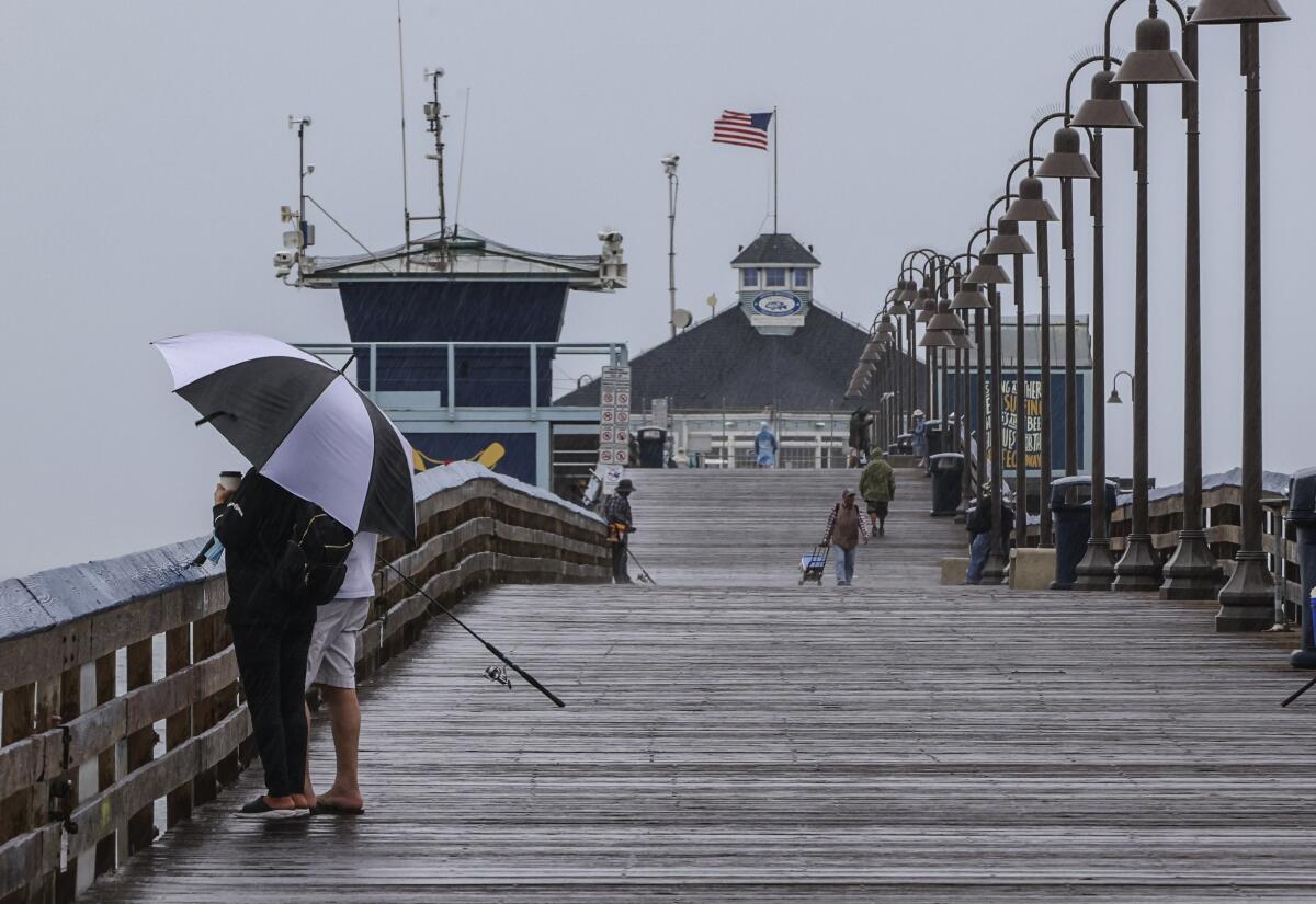
Rain and heat records in parts of Southern California were broken Friday as Tropical Storm Kay helped firefighters battling a huge fire near Hemet.
According to the National Weather Service, 5 inches of rain fell in Mt. Laguna in San Diego County. Other mountain areas in San Diego including Julian got 4 inches of rain, with less than in inch falling along the coast.
Several spots in Los Angeles County, including Los Angeles International Airport, Long Beach Airport and downtown L.A., saw new daily rain records, but the amounts were fairly small. Long Beach, for example, recorded 0.20 inch, breaking the old daily record of 0.02. LAX also set a new daily heat record (102 degrees) along with several other locations such as Oxnard and Santa Barbara Airport.
The storm system was expected to continue affecting Southern California through the weekend, but with less rain and somewhat cooler temperatures compared with Friday. It caused scattered power outages across the region.
The rains were a relief for firefighters battling the Fairview fire near Hemet, with the extra moisture saturating the area and mitigating some of the threat posed by high winds in dry conditions, said Rob Roseen, a spokesman for the Cal Fire/Riverside County Fire Department.
“We did receive some of these winds, but the rain came much earlier than expected,” Roseen said. “We do still have fire rooted in some of those tree trunks and things of that nature, and there’s definitely still fire work to be done, but largely the fire has been reduced.”
Some evacuated residents in northern Temecula began returning to their homes on Friday night, he said.
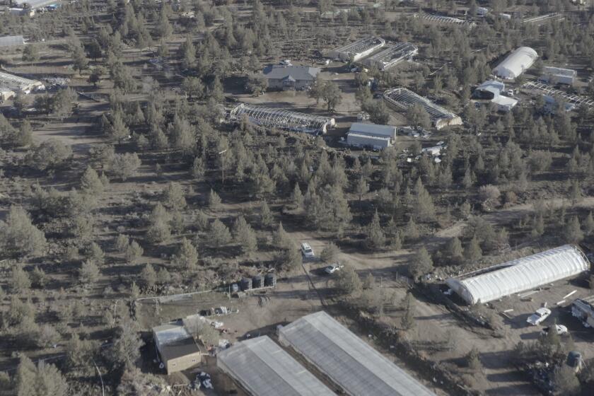
Illegal cannabis farms are engulfing parts of California and exploiting farmworkers who labor in squalid, deadly conditions, a Times investigation finds.
“Had that rain not come, there were threats to that community,” he said. “That was 18,000 plus homes that would’ve been impacted by this.”
Still, he added, the heavy rains presented certain hazards for firefights, “as far as possible downed trees.”
In the Los Angeles area, tens of thousands of people were affected by power outages as of Saturday morning, including households in Pico-Union, Hollywood, Los Feliz, Harvard Heights and other areas scattered across the city from Reseda to San Pedro. More than 24,000 people had their power out as of midmorning Saturday, and another 30,000 people had gotten their power restored after outages in the past 24 hours that had ranged from minutes to hours, said Mia Rose Wong, a public relations specialist with the Los Angeles Department of Water and Power.
“Crews are working incredibly hard and as fast as they can,” Rose Wong said. “They’re going to work around the clock until all power is restored.”
The department attributed the outages to wind and rain from the storm and said on Twitter that its crews had been working through the night, with an estimated response time of 12 to 24 hours from when an outage began.
“The most frequent cause of power outages during heavy rain and wind storms is flying debris, like tree branches and palm fronds, that can make contact with power lines, resulting in outages,” the department said. “This is particularly true with the first rain after an extended period of time, and especially after the dry conditions like the kind the region has seen as a result of the drought.”
Lingering rains from Kay’s remnants are raising concerns about possible flooding in Southern California on Sunday and early into the week, according to the National Weather Service.
Forecasters are eyeing the area for thunderstorms, especially in the interior mountain and desert areas where the wet weather is expected to remain longest. A flash flood watch was in effect Saturday for mountain and desert areas in Los Angeles, Ventura and San Diego counties as well as in the Inland Empire.
Thunderstorms on Sunday “may be slower moving than today,” which ramps up the risk of flooding if rains continue to pound the same areas, said Robbie Munroe, a meteorologist with the National Weather Service in Los Angeles. “That’s something we’ll be looking at closer today.”
In San Diego County, “we’re going to see scattered showers lingering across the area” on Sunday and Monday, said Casey Oswant, a meteorologist with the National Weather Service in San Diego. “Showers are most likely in the mountains, but could drift west into the valleys or east into the deserts at times.”
“We’re also expecting a slight chance of thunderstorms each afternoon as well with all that leftover tropical moisture” as Kay starts to move out of the area, Oswant said.
Kay was about 250 miles southwest of San Diego as of Saturday morning. Meteorologists had been surprised Friday that the storm had maintained so much of its strength as it moved into the chilly waters near California.
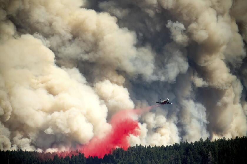
Record heat is fueling dangerous fires across California, pushing firefighters to the limit and creating ideal conditions for more blazes to spark and spread.
Though Kay as a whole has steadily weakened, the storm produced strong gusts in Southern California.
Its maximum sustained wind speeds had fallen to 40 mph, according to a 5 p.m. Friday update by the National Hurricane Center. It will degrade into a post-tropical cyclone once its wind speeds fall below 39 mph.
“Tropical-storm-force winds extend outward up to 90 miles mainly to the east of the center,” according to the Hurricane Center. “There are continued reports of 50-70 mph wind gusts in the mountains east and northeast of San Diego, with occasional gusts to hurricane force.”
Hurricane-force winds begin at 74 mph.
“Strong winds not directly associated with Kay’s core wind field are occurring across portions of southern California and extreme southwestern Arizona,” the Hurricane Center said.
Forecasters also said Kay was producing 2 to 4 inches of rain in the southernmost areas of California, with some isolated pockets of 6 to 8 inches of precipitation.
Rain was scattered across San Diego County in the morning and crept into Riverside, Orange and San Bernardino counties by the afternoon, the weather service said. Heavy rains with possible thunderstorms could still be ahead, officials warned.
San Diego County was walloped with heavy rain and wind gusts over 100 mph in the mountain areas. The National Weather Service issued a flash flood warning for the northeastern part of the county as well as Riverside County.
By Friday evening, some of the San Diego area mountains had received close to 5 inches of rain, with San Diego International Airport receiving 0.60 inch as of 7 p.m.
The threat of foul weather led singer Alicia Keys to postpone her sold-out Friday night concert at San Diego State University, but the Dodgers and Padres faced off as scheduled at Petco Park.
Orange County beaches had received about a quarter-inch of rain by Friday evening, and a predicted multi-inch deluge in the Riverside County mountains failed to materialize.
Shane Reichardt, a spokesperson for the Riverside County’s Emergency Management Department, said the storm escalated the potential for a public safety power shutoff. It also repositioned threats from fires to include flash flooding.
“When you look at everything that we have, with the heat we’ve had, the power concerns we’ve had, the storm, the potential for public safety shutoffs, that creates a lot of anxiety. It is a lot for the community to keep taking in,” Reichardt said.
The low desert areas, including the Coachella Valley, were also vulnerable. A flash flood watch is in effect for all Southern California mountains, valleys and deserts, meteorologists said. Parts of the desert, including Mount Laguna, Ocotillo and areas near the Imperial Valley were under a flash flood warning.
Intense winds stressed power lines and toppled trees in San Diego County, where the top wind speed was clocked at 109 mph at Cuyamaca Peak, about nine miles south of Julian.
A high-wind warning was in effect until midnight throughout the Inland Empire, the mountains of Riverside and San Diego counties and the San Diego coast and valleys. Orange County and the San Bernardino mountains and deserts were under a wind advisory. Even coastal and valley areas had the possibility of up to 60 mph winds.
A gale warning was in effect for coastal waters, with seas as a high as 12 feet. Orange County surf conditions could reach six feet. Strong currents are expected through at least Sunday.
In anticipation of the swells and high tides, Long Beach began offering sandbags for residents in low-lying areas at fire stations and the lifeguard station at 72nd Place and Ocean Boulevard.
Protective berms were constructed along the oceanfront peninsula near Alamitos Beach to protect nearby homes.
The storm, which officials feared would further intensify the Fairview fire with possible lightning strikes and strong winds, appears to have come to firefighters’ aid.
In National City, Courtney Jones tracked Kay on her phone. She grew up with storms on the East Coast.
“I was kind of expecting to wake up and look outside and see the trees bending and leaves everywhere, loose debris, but when I looked out, all I saw was puddles and people driving a little more slowly,” said Jones, 28. She was hoping the rain would alleviate the heat, but the conditions were still unbearable early Friday, what she and her family call “dog breath weather”: hot, muggy and sticky.
Daye Salani zipped out of his house in downtown San Diego without his umbrella and jacket when he left for work Friday morning.
“If I leave work and it is pouring, I don’t mind getting soaked,” said Salani, adding that it’s “been a minute” since rain has bucketed down on him. This was a rare occasion and “I’m inviting it,” he said.
In Imperial, Jorge Reyes said the rain started early Friday.
Flash flood warnings have been issued during past monsoon seasons, but he said this was the first time he could recall one for September — or really any rain at all during this month in a calendar year.
“We don’t get rain all the time, and sometimes when there is rain, it goes around us in Yuma area or other cities,” said Reyes, 45.
In this once-in-a-millennium drought, a lawn evangelist like Jim Baird seems as heretical a sight in Los Angeles as an Angels hat at Dodger Stadium.
The storm is not expected to bring significant rain to Los Angeles County and the surrounding areas, which are likely to stay dry most of Friday, although some rain bursts and thunderstorms could develop by the evening and last through the weekend.
Still, Los Angeles International Airport announced on Twitter that because of Friday’s wind conditions, it would shift operations to have aircraft depart from the east and arrive from the west. There were few delays, with “99% of our schedule on time so far today,” LAX said.
Meteorologists had issued a flash flood watch for L.A. and Ventura counties, as well as the Antelope Valley. Forecasters are particularly concerned about Catalina Island, which is under a coastal flooding advisory.
Southern California last felt the effects of a tropical storm in 1997, when Tropical Storm Nora caused flooding, power disruptions and traffic crashes, as well as destroyed several homes in Orange County.
Despite the coming rain, excessive heat remained an issue Friday amid a prolonged heat wave that has baked Southern California for more than a week. The temperature in downtown Los Angeles was at 80 degrees by 9 a.m., said Dave Bruno with the weather service’s Oxnard bureau. Most valley and foothill areas did not drop below 90 overnight.
Temperatures began to drop by noon, but not before setting another daily record at LAX, which recorded a high of 101 degrees, breaking the previous Sept. 9 record of 96 degrees set in 1984.
Times staff writers Gregory Yee and Christian Martinez, and Gary Robbins and Teri Figueroa of the San Diego Union-Tribune contributed to this report.
More to Read
Sign up for Essential California
The most important California stories and recommendations in your inbox every morning.
You may occasionally receive promotional content from the Los Angeles Times.


