One in 4 Californians live in a ‘high risk’ wildfire area. Is the state ready for another fire season?
- Share via
In Big Bear Lake, officials worry about an explosive wildfire roaring through the resort city, trapping tens of thousands of people.
In the Santa Monica Mountains, authorities stage a mock evacuation in Mandeville Canyon, where police discover they are too slow to rescue residents from a wildfire disaster.
And in the thick forest of the San Jacinto Mountains, an Idyllwild resident laments that his town “resembles an arsonist’s dream.”
On the heels of the deadliest and most destructive wildfire season in state history, officials across California are growing increasingly anxious over what many fear will be another one.
Fire experts and climatologists warn that the heavy rains of recent months produced an excess of vegetation, which over the hot summer will become dry fuel. At the same time, the death toll from last fall’s Camp and Woolsey fires — and the Tubbs fire the year before that — has highlighted the vulnerability of communities throughout the state.
In a meeting with emergency managers recently, Gov. Gavin Newsom urged officials to “prepare for the worst” and then gave voice to a growing sense of dread.
“We just can’t take this anymore,” Newsom told the gathering. “The state can’t take 2018 again. Can’t do 2017. … We can’t take it anymore.”
After the Camp fire killed 85 people in and around the town of Paradise — and revealed glaring shortcomings in municipal evacuation plans — the California Department of Forestry and Fire Protection conducted a risk assessment that found an estimated 11 million residents, or 1 in 4 Californians, live in areas considered to be at “high risk” of a wildfire.
“I anticipate there’s a whole lot of people in suburban Southern California, and frankly in the Bay Area, that would never consider themselves a part of that ‘1 out of 4 Californians that live in a fire risk area,’ but they actually do,” said Wade Crowfoot, head of the California Natural Resources Agency.
Sleeping giants
When it comes to the risk of forest fire in Southern California, Richard Minnich, a fire ecologist at UC Riverside, said he is most concerned about communities that haven’t burned since the 19th century: Big Bear Lake and Lake Arrowhead in the eastern San Bernardino Mountains, and the isolated, mile-high community of Idyllwild.
These areas, he said, have hundreds of trees per acre with trunks more than 4 inches in diameter and an under-story of young conifers and brush. By way of comparison, he said, a healthy, safer forest has about 13 such trees per acre.
In the event of a fire, the heavy under-story would create what foresters call a “fuel ladder” that would send flames up into the canopy, triggering a massive blaze.
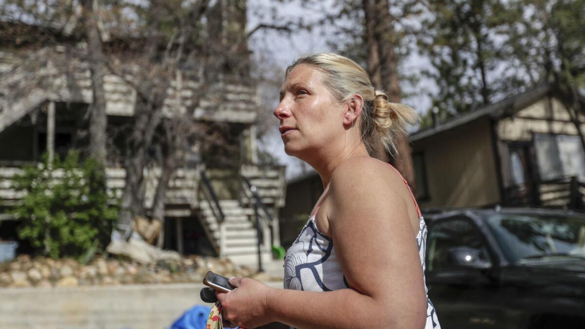
In Idyllwild, authorities have been sounding the alarm for years about the buildup of tinder-dry trees and brush.
“My town still resembles an arsonist’s dream,” resident Mark Yardas said.
Risk management
For all the urgency local and state officials are bringing into fire preparations this year, their methods for reducing the risks are nothing new.
“Near highways, we’ll probably do a combination of handwork and machine work: bulldozers, masticators, things like that,” said John Melvin, Cal Fire’s chief for resource protection and improvement. “It’s tried-and-true methods. What we’re doing is greatly increasing the pace and scale, and we have more resources to do that.”
Indeed, the National Guard troops that President Trump requested for border duty, and that Newsom recalled, are now working on fire breaks, Melvin said.
But a growing chorus of environmental advocates and some former fire officials are urging the state to shift its wildfire strategy to one that “starts from the home outward.” That means using fire-safe roofing materials and vent screens in homes and pruning vegetation within a 100-foot radius of residences, among other things.
The state’s current strategy — which relies primarily on altering forestland — is costly financially and environmentally, they argue. It also has failed to prevent deaths and massive property loss in extreme, wind-driven fire events such as the Camp and Tubbs fires — which together killed more than 100 people.
“Studies show that the principal cause of residential destruction is not the result of high-intensity wildfire engulfing homes,” said Big Bear Lake resident and ecologist Chad Hanson. “Instead, home ignitions are due to showers of firebrands landing on flammable materials or on nearby vegetation. After that, one burning home sets fire to another and another.”
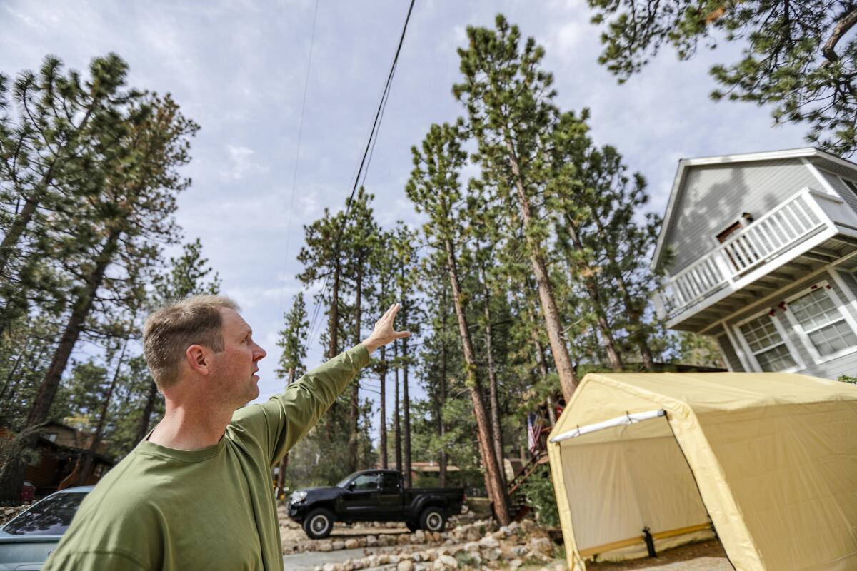
During a recent walk down a shady lane in Sugarloaf — a densely populated neighborhood whose streets are arranged in a grid pattern — Hanson gestured toward a clutch of homes.
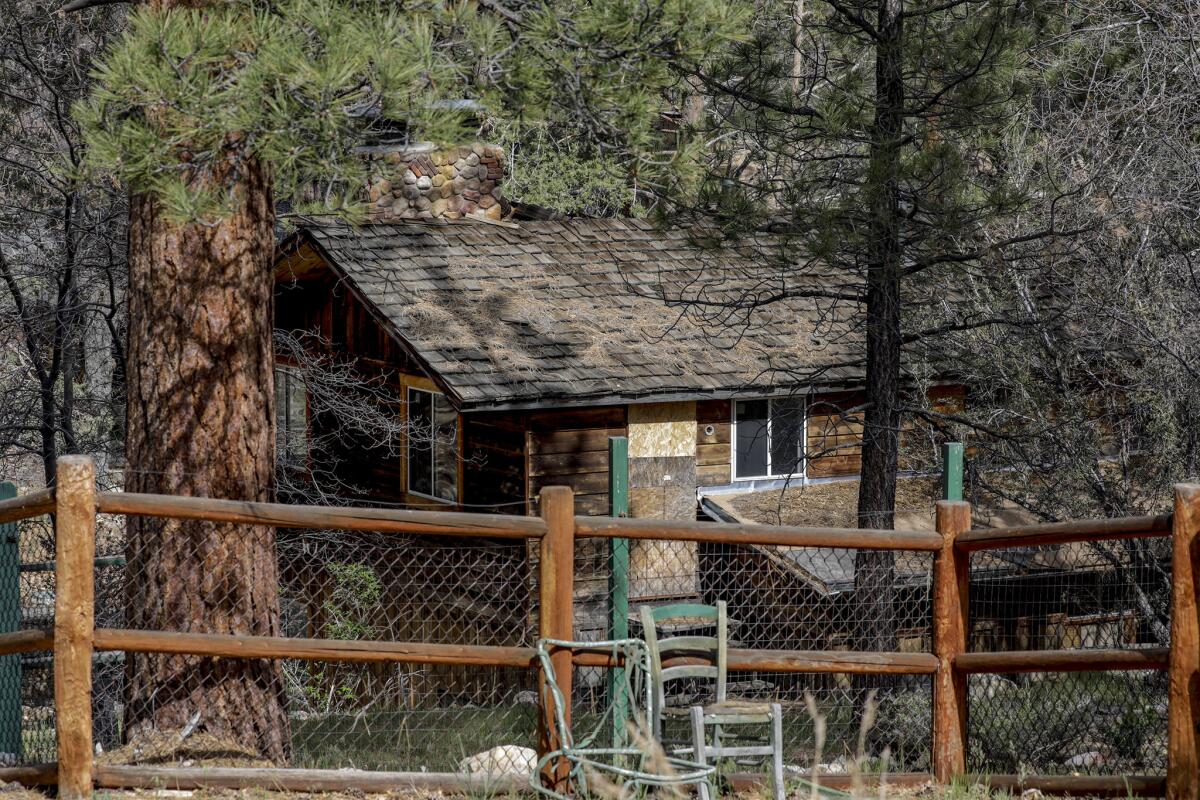
“Everywhere you look, there are piles of dry pine needles on deteriorating shake shingle roofs and thick brush growing against walls made of wooden planks,” Hanson said.
“I understand the comfort in people’s voices when they say: ‘The Forest Service plans to thin the forests around here. So, we’ll be OK,’ ” he said. “But they are wrong.”
Less than a block away, Amanda Mayer, 38, was striding beneath the branches of a 30-foot-tall oak tree draped over the veranda and roof of a wood-sided Victorian-style home she shares with her family.
“Everybody knows this tree is too close to the house,” she said. “But this is a pretty poor community. Many of us have to work two jobs to get by. So, the idea of paying someone tons of money to trim this tree is not high on my priority list right now.”
Little response time
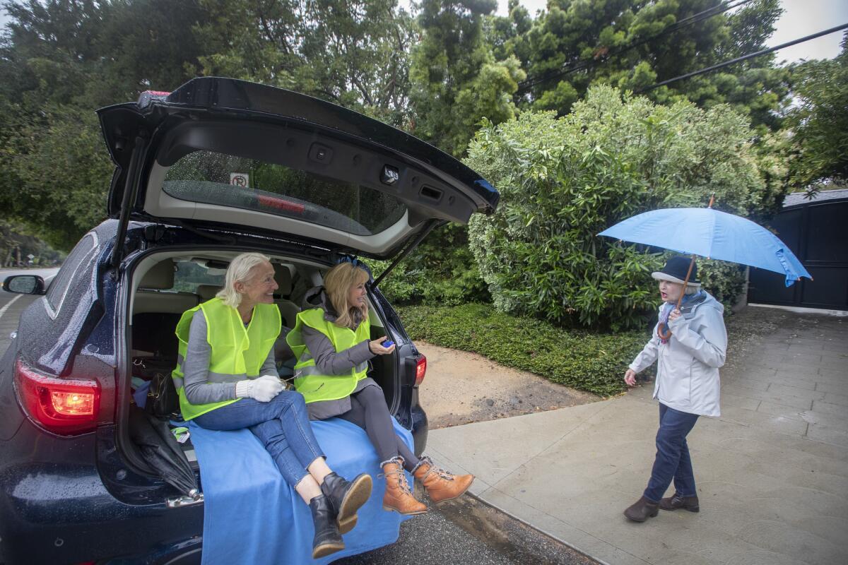
On a recent rainy Sunday in Mandeville Canyon, Los Angeles police officers moved from house to house as part of an elaborate evacuation drill.
As part of a scripted scenario, officers told residents that a fire had broken out nearby, amid 25- to 35-mph winds with gusts up to 40 mph. Residents had two hours to clear out before a shower of embers, and then flames, arrived.
But as officers made their way up the canyon, the fire prevented them from reaching residents to the north. As a result, first-responders scrambled to transform their simulated evacuation drill into a simulated rescue mission.
Among those residents who attended the drill was Maureen Levinson.
Although she lives in Bel-Air, she said she felt compelled to attend the event after watching images of the Woolsey fire, which ripped through Ventura and Los Angeles counties and devastated Malibu. She and her neighbors were heartbroken when they watched video of homes burning but saw no firetrucks nearby.
The lesson was clear, she said.
“If we’re in a fire, at some point they’re going to give up on us,” Levinson said.
Evacuation plans
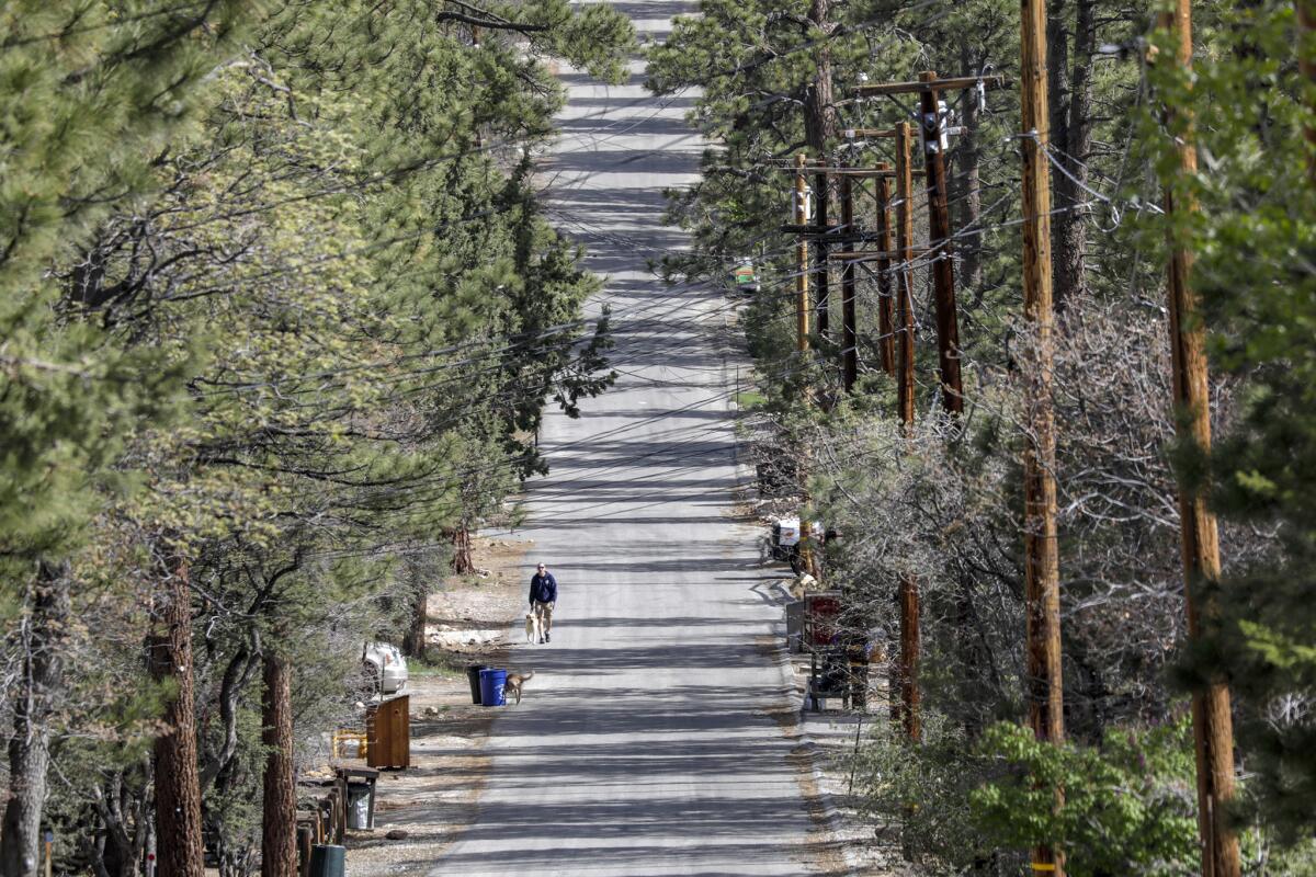
In the heart of the San Bernardino Mountains, where the suburbs meet the wilderness, many have built homes amid forest and brush, despite the wildfire risk.
Big Bear Lake Fire Chief Jeffrey Willis knows the danger that comes with the high-velocity, dry Santa Ana winds that blow out of the desert each fall and transform the city’s 100-foot-tall Jeffrey pines into fuel.
“You can plan all you want, but a plan is only good until something doesn’t fit,” Willis said. “Then you have to plan on the fly.”
Lake Arrowhead, which is home to 12,000 permanent residents, has not burned since 1879. Yet each time firefighters put out a small blaze, that means unburned brush and timber is left to fuel future fires.
Jason Brooks, a San Bernardino County Fire Department engineer, was only half-kidding when he said, “If every property owner in Lake Arrowhead created defensible space around their homes, there’d be no trees left to look at.”
In this high-altitude, high-fire risk area, a revised evacuation plan funded by the county calls for releasing vehicles in a series of periodic segments, or tiers, with only people in the most threatened areas leaving first at “a desired speed of 25 mph.”
That’s because, according to the Mountain Region Emergency Road Capacity Study, if the entire community of Big Bear Lake, for example, “were to be evacuated in one instance, the roads would be overloaded and traffic would not process.”
“There is potential for catastrophic losses,” the study warns, “as thousands of people move into the mountaintop communities.”
More to Read
Sign up for Essential California
The most important California stories and recommendations in your inbox every morning.
You may occasionally receive promotional content from the Los Angeles Times.
