December snowstorms have some Northeasterners bracing for long winter

- Share via
NEW YORK -- The groundhog may not make his prediction until February, but Karen Gregorski thinks she already knows how the coming winter is going to turn out: very, very snowy.
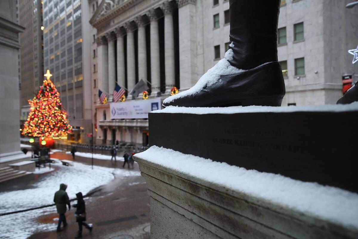
Gregorski, 66, was walking carefully Tuesday down a midtown Manhattan street, her fur jacket coated with snow. Nearby, doormen shoveled sidewalks, and an apartment superintendent, with a hint of weariness, sprinkled salt on some slippery spots. This was the fourth snow shower in 10 days, and it’s not even technically winter yet.
“I’m originally from Pennsylvania, and we always went by the Farmer’s Almanac,” Gregorski said. “And this year, the Farmer’s Almanac says it’s going to be bad — lots of snow.”
This year and 2003 rank as the top years since 1960 for early snowfall, according to Weather 2000, a meteorological consulting firm. Philadelphia has also had its most snow to date since 1960; Pittsburgh has piled up its largest amount of snow to date since 1972.
And typically warmer cities such as Cincinnati and St. Louis have had more early snow this year than they had in decades, according to Weather 2000.
For the Northeast, the pattern of frequent storms is likely to continue, said Michael Schlacter, chief meteorologist at Weather 2000.
“We think there will be a very early, long and consistent winter season — a ‘here we go again,’ rinse and repeat cycle,” he said.
Despite the cold facts to date, the National Oceanic and Atmospheric Administration said Tuesday that globally, the earth’s land and ocean surfaces had their hottest November on record. The average temperature was 55.6 degrees, 1.4 degree above the 20th century average for November.
Those in the frigid Northeast can take solace in knowing that sometimes in weather, past isn’t prelude. In 1912, New York had the snowiest Christmas eve on record, with 11.5 inches falling. The rest of the winter, though, was very mild.
New York is supposed to warm up this weekend, reaching 50 degrees. But that won’t help the city keep warm down the road. Each time the weather gets warmer, it prevents Canada from releasing all of its cold air at once. That means the cold air will last longer, and return with a vengeance, Schlacter said.
Historically, early snowfall has been an indication for a snowy winter, said Stephen Fybish, a New York weather historian. If the city sees 8 inches or more of snow in December, as it has this year, the next three months are very likely to have at least 17 inches, and often more, he said. Since 1968, every winter that has started with a December of at least 5 inches had at least 17 inches the rest of the winter, he said.
“Because of this early accumulation of snow, I can at least say that the pattern has been consistent — there’s an extreme likelihood of at least 17 more inches,” he said.
ALSO:
Weather models say California likely to remain dry this winter
George Zimmerman made a painting, and on eBay it’s worth $100,000
Snowy storm kills one in Missouri, heads to Northeast
Twitter: @AlanaSemuels
More to Read
Sign up for Essential California
The most important California stories and recommendations in your inbox every morning.
You may occasionally receive promotional content from the Los Angeles Times.


