L.A. Walks: Park-hop in northeast L.A. from Rose Hill Park to Debs Pond and back
- Share via
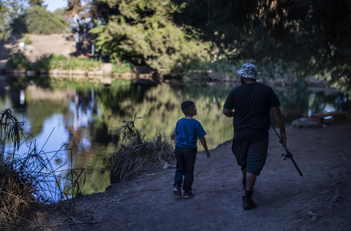
A city walk, to a hilltop lake, open to the public, with killer views of downtown Los Angeles? Yes! This hike departs from the southeastern edge of Montecito Heights and climbs into Ernest E. Debs Regional Park. It’s popular for joggers, hikers and dog walkers. On most days, you’ll find someone throwing a fishing line into the water at this unlikely scenic spot.
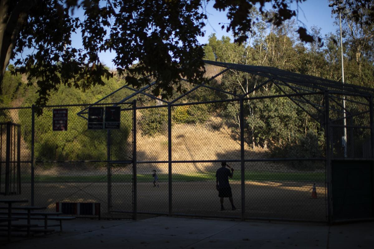
1. Start at Rose Hill Park at 3606 N. Boundary Ave. in Montecito Heights, about six miles northeast of downtown Los Angeles. Park in the parking lot and take advantage of the public restrooms. Walk straight up the parking lot with the baseball diamond on your right toward a broad white gate. Walk on past a second baseball diamond and watch for another gate.
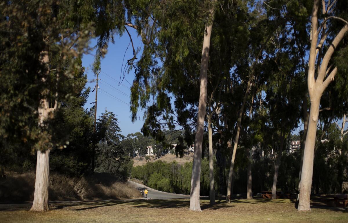
2. As you approach this gate, veer to the right and take a wide dirt road as it begins a gentle climb through the shade of eucalyptus trees. Bear left as the road flattens out, then walk through a picnic area shaded by sycamore and pine trees. Keep the parking lot on your right and walk to the end of it.
3. Find a narrow, paved walkway on the left, climbing past a low brown gate toward a set of stairs. Take the stairs, then continue straight toward a wide dirt trail climbing steeply to the right.
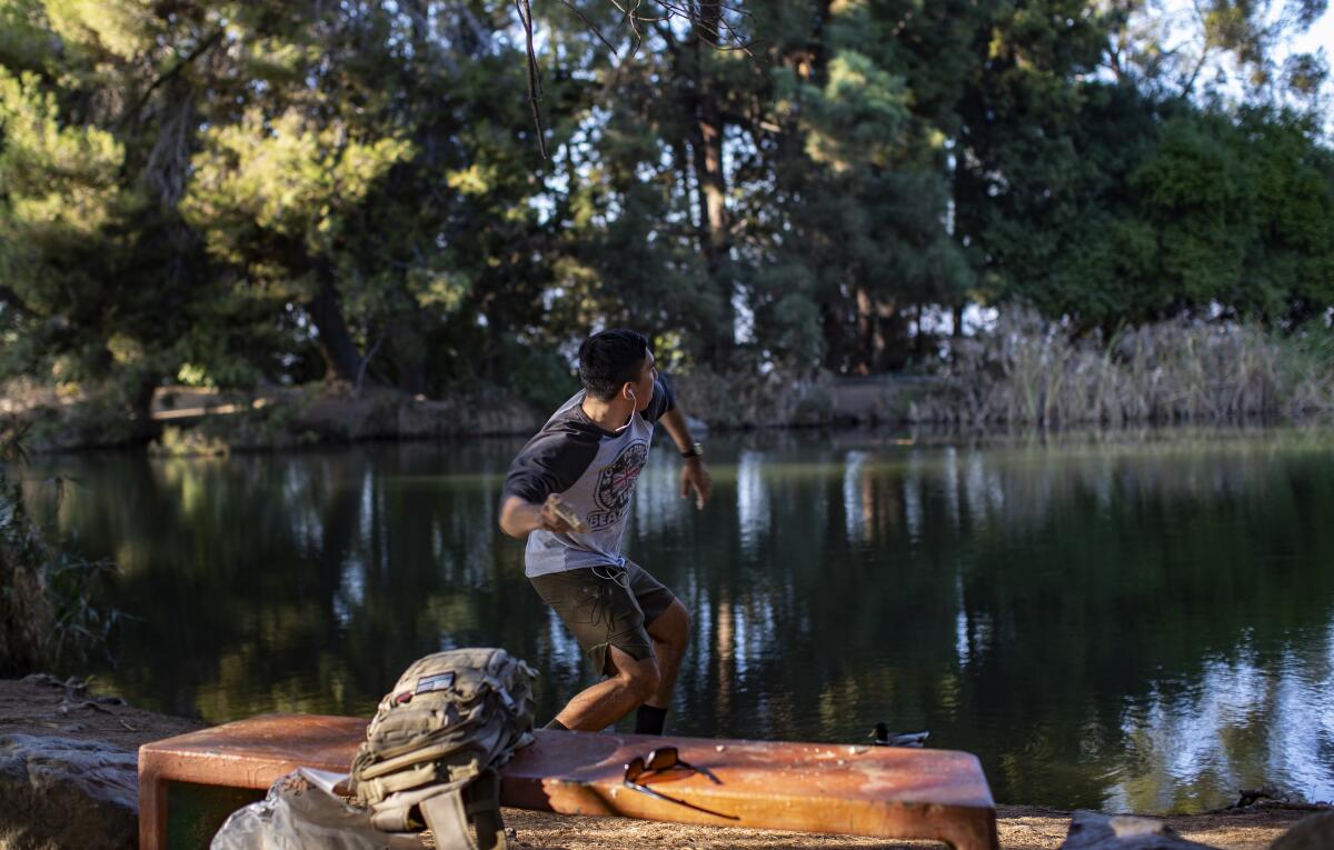
4. Near the top of the hill, find a break in the trees toward the left and go through it, making a good mental note of where you are. Dead ahead: Debs Pond, a.k.a. Peanut Lake.
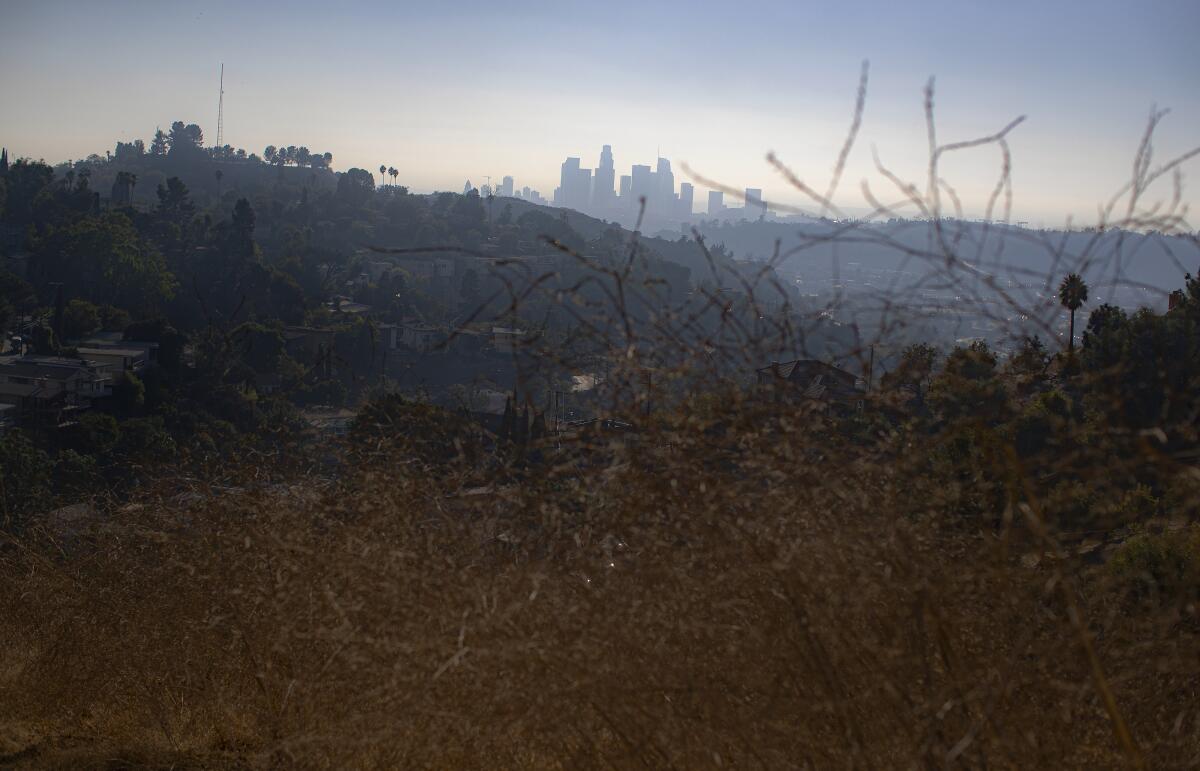
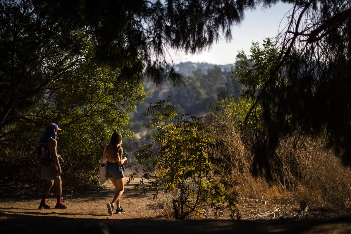
5. Circle the lake, then come back and find that break in the trees again. Walk back downhill on the same wide dirt trail. As the trail flattens, keep the palm trees on your left and walk straight, up a slight rise toward a low-growing pepper tree.
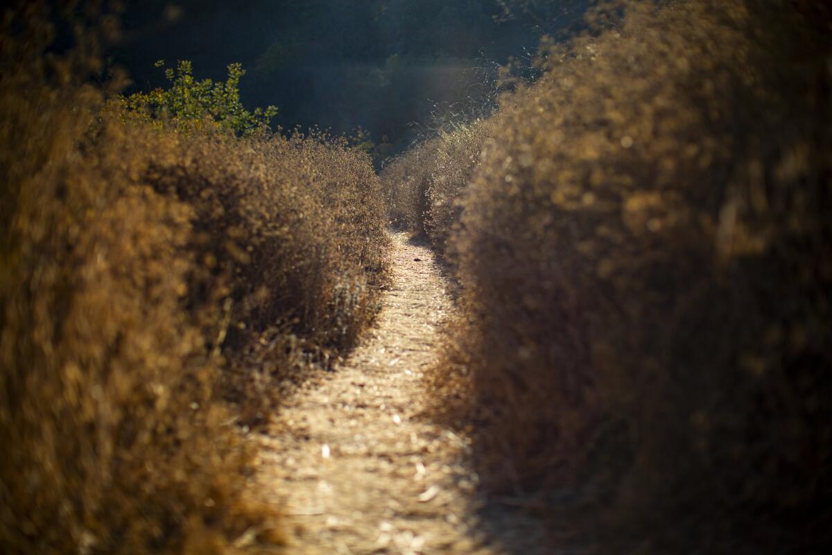
6. Past the pepper tree, look for a break in the fence that looks like it’s outfitted with chin-up bars. Walk through this, turn immediately left, and then walk through another break in the fence on the left. Then turn right, descend slightly and continue right on a narrow dirt trail as it hugs the hillside and begins to climb. You’ll see a chain-link fence to your right.
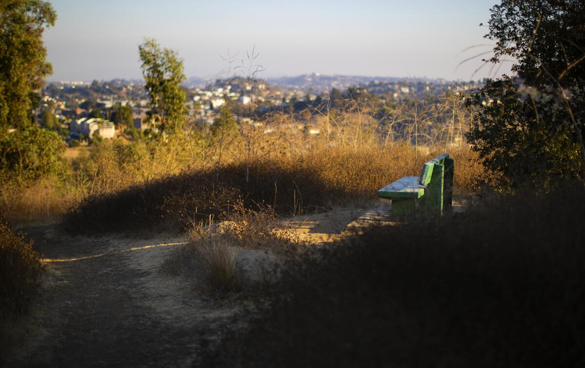
7. Follow this as it crests and passes a pair of green park benches. Then descend. When the trail goes flat (but before it starts to rise again) find a narrow, slightly overgrown trail to the left. Walk down this short stretch until you hit what appears to be an abandoned picnic/barbecue area.
8. Bear right, keeping an eye out for a dirt road dropping down to a right and blocked by a low white gate. Walk past this gate and downhill. In a short time you’ll come to a shaded picnic table and, just after, a set of stairs going down to the left. Descend, turn left and you’ll see your starting point dead ahead.

STATS
Distance: 2.2 miles
Difficulty: 4 on a scale of 1 to 5
Duration: 1¼ hours
Steps: 6,000
Details: Free parking. Bicycles and dogs on leashes OK. L.A. Metro bus 252, 256.
More to Read
Sign up for The Wild
We’ll help you find the best places to hike, bike and run, as well as the perfect silent spots for meditation and yoga.
You may occasionally receive promotional content from the Los Angeles Times.


