Highway 1 reopens near Big Sur, but SoCal forests are still closed as fires persist

- Share via
Highway 1 reopened Monday after a closure that lasted more than a month as firefighters battled flames near Big Sur in Monterey County.
But millions of acres of public lands remain closed because of fire threats or air befouled by smoke. Along the Sierra in the center of the state, Yosemite and Sequoia national parks are closed, but Kings Canyon National Park is expected to reopen Wednesday.
In Southern California, all of the region’s national forests are closed, including Angeles, Cleveland, Los Padres and San Bernardino national forests.
The Forest Service has a regional order in place that closes those forests through Wednesday. It’s still “a day to day decision” on when to reopen, said U.S. Forest Service spokesman Jonathan Groveman.
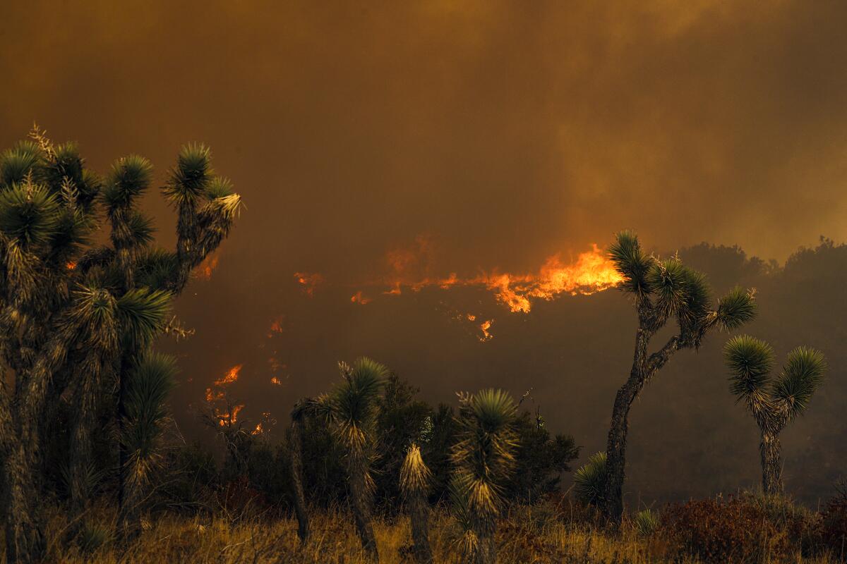
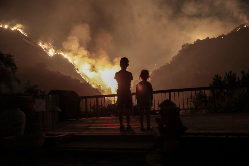
As of Tuesday morning, the Bobcat fire in Angeles national forest had claimed more than 109,000 acres and was 17% contained.
Joshua Tree and Death Valley national parks remain open.
Farther north, these national forests are open to varying degrees: Eldorado, Lake Tahoe Basin Management Unit, Lassen, Mendocino, Modoc, Plumas, Shasta-Trinity, Stanislaus, and Tahoe. These forests are closed through at least Thursday: Inyo, Sequoia, Sierra, Klamath and Six Rivers.
Over the last month, since the Dolan fire was sparked in Monterey County (Aug. 18) and Caltrans first closed Highway 1 (Aug. 19), the roadblocks have moved with the fire lines. For its last several days, the closure covered the 13 miles between Gorda and Lucia, just south of Big Sur.
Meanwhile, though the road is open, several of Monterey County’s state parks remain closed, including Julia Pfeiffer Burns, John Little State Natural Reserve, Limekiln, Pfeiffer Big Sur and Point Sur State Historic Park. And the fire still burns.
As of Tuesday morning, the Dolan fire had blackened more than 128,000 acres and was 46% contained. About 535 firefighters are currently working on the blaze, whose origins are unknown.
The blaze, which started Sept. 6, has now chewed through more than 72,000 acres and is rapidly continuing its northeastern expansion.
Authorities urged would-be visitors to check individual forest web pages (for specific restrictions), the Cal Fire website (for updates on the blazes in progress) and AirNow or a comparable source (for air-quality readings).
More to Read
Sign up for The Wild
We’ll help you find the best places to hike, bike and run, as well as the perfect silent spots for meditation and yoga.
You may occasionally receive promotional content from the Los Angeles Times.


